This geocache is one of twenty Historical Geo-Passport geocaches within the South Nation Jurisdiction. For more information on this series of geocaches, please visit South_Nation. This geocache will take you to what was once the villages of Gagnon and Grant. The geocache is located in the Grant area.
The posted coordinates will bring you to the remains of the village of Gagnon. Here you must seek the answers to the following questions:
- Find “Le Village Gagnon” town map engraved in stone. What year did the cheese factory (fromagerie) open?
- Find the main information panel, filled with all sorts of information. Gagnon would never have existed without the arrival of the railway. What year was it built here? And, reading on, what year did the last building close in the town?
- Find the saw that came from the Shaver sawmill. According to the sign, this was buried for over how many years?
- Look to the non-active railway towards the back of the property (the one that is safe for children to be playing on). There is a rare photo of the Grand Trunk station and railway pump cars, taken in 1892. A plaque provides some more information. What year was this plaque posted here (the only year on the plaque)?
You should have collected 5 numbers so far. Proceed to the ghost village of Grant (N 45° 21.801 W 075° 14.093). The recommended route is by driving through Limoges- the direct route through Racette road can be overgrown and muddy at times: AWD/4WD or truck recommended (See Google Streetview)
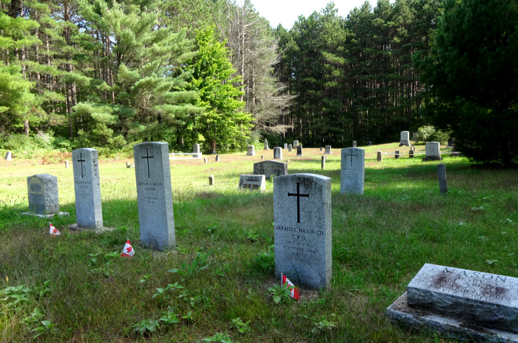
You will find a Prescott Russell information sign at the edge of the church foundation.
- What year did grant gain official community status?
- There is a photo of the annual picnic, taken in 1920. The annual picnic was on a long hiatus… What year did it again become an annual event?
Walking further, you will find a second Prescott Russell information plaque.
- What year did James, the church trustee purchase the cemetery land?
- A pine tree was planted, assuming an interesting shape, and became a symbol of the village (now dead and removed). What year was it planted?
To determine the coordinates for the cache, add all nine numbers you have collected together. Divide this five digit number by 1000 (to insert a decimal place) and add it to 6.357 to obtain the North minutes; and subtract it from 29.551 to obtain the West minutes.
Take a walk on the trail into the Larose forest, with the trailhead at the Grant reference point you started at. If you did the math properly, you will see the geocache is only a few hundred meters away.
En 1832, descendant la rivière Petite Nation (aujourd'hui rivière Nation Sud), Martin Casselman décida que l'emplacement actuel du Village de Casselman serait l'emplacement idéal pour une ville.
Martin acheta en 1843 de la famille Jessups 1600 acres de terres des deux côtés de la rivière, et un an plus tard, avec l'aide d'environ 40 hommes, un barrage et une scierie furent construits. Il dépensa ensuite 40 000 $ pour s'assurer que la ligne de chemin de fer Canada-Atlantique passe par Casselman, favorisant le développement du village qu'il avait fondé.
En 1876, la construction de la première église commença sur un terrain offert par Martin et, comme beaucoup d'autres villages à cette époque, l'église est devenue le cœur de la collectivité construite autour d'elle. Avant que l'église ne soit prête, les services religieux étaient organisés à l'étage supérieur du magasin général.
Le village a souffert de deux incendies majeurs, en 1891 et 1897, qui ont finalement paralysé l'industrie du bois. Dans les deux cas, le village et les églises ont été réduits en cendres, forçant de nombreux habitants à partir afin de trouver du travail ailleurs. Ce sont les mots d'encouragement et le leadership de l'église qui ont conduit à la reconstruction de la collectivité par des dons publics.
********************
The lumber and rail industries are what drove families to move to towns such as Gagnon and Grant. Like most towns, Gagnon started with the establishment of a sawmill in 1890, built by Peter Kelty and Morris Shaver. Over time, the land was cleared and farming became viable. After the construction of a hotel, Gagnon boomed, building a school (1895), a general store (1903), a post office (1906), a butcher (1909) and, eventually a cheese factory (1922).
The first postmaster gave Gagnon its name until it closed in 1931, followed by the cheese factory (1948) and the school (1965). The town itself, although listed in italics on some Ontario maps, no longer exists.
Though the ending of Gagnon was a slow and subtle one, the demise of Grant is due in part to a bush clearing exercise gone wrong by a nearby railroad crew in 1897. Even though the same structures were found in this village, the sandy soil was not suitable for agriculture, turning the town into a dust bowl by the 1920s. The remaining structures of Grant are found within the Larose Forest after the area was procured following the desertion.