Rich County was believed to have first been visited by European descendent explorers in 1811, when trapper Joseph Miller discovered the Bear River. In 1827, the first annual rendezvous of trappers occurred on the south shore of Bear Lake, a tradition which is still marked today. The site is also preserved as part of Bear Lake State Park. The first settlement within the county's present boundary was Round Valley in 1863; located southwest of Laketown (settled 1864), it is now a ghost town. Randolph was settled in 1870. Originally created as Richland County in 1864, the name was shortened to Rich in 1868 by the 17th Utah Territorial Legislature.
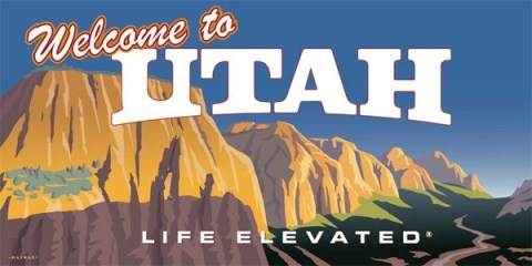
Welcome to Utah: Live Elevated! This is an
***OFFICIAL VISIT UTAH GEOTOUR CACHE ***
See all of the Visit Utah GeoTour geocaches at this link:
Visit Utah GeoTour
Please be sure to log your find online including a unique picture taken by you at the cache site to be eligible for all rewards. For privacy reasons, it does not have to be a picture of you. However, if you’re willing, we'd love to see your smiling face! PLEASE DON'T POST PICTURES OF THE CODE CARD
Once you have found and noted the code in at least three of the five GeoTour caches in the county (but find all five; they're fun!), enter the codes here
Visit Utah GeoTour Patch Request Survey
You will receive a confirmation email. If you do not receive the email, check your spam folder. If you do not find it there and have a concern, please contact utahgeotour@utah.gov. Please DO NOT resend the request.
Each county in Utah has five caches to find, and their own patch to go with it! If you find 3 Visit Utah caches in 10 counties, then you qualify for the official Visit Utah Geocoin. If you find 3 Visit Utah caches in all 29 counties, you can get an exclusive reward to display your patches!!!
Visit our website at this link for more details:
Visit Utah GeoTour page
Special Thanks Utah State Parks and Camminatore AFK for letting us use this spot for the GeoTour.