Your task is simple if you say it quickly. Just identify which cave is at each waypoint, and use the numbers in the photos to work out the final coordinates.
From the parking place, go left across a concrete square and proceed to the trail head where you descend through the gap in the rocks. The tour follows a fairly open path, with no bush-bashing required, but there are some ups and downs with slippery leaf litter in places. Take it easy; you don't have to scale any cliffs as there's always an easy way around.
Once at GZ, you'll need to find the container (doh!). There are lots of possible hiding places in the cave and your GPSr won't be able to see the satellites once you go in, but the cache is reachable with just a step up. A torch might be handy too, particularly if it's a dull day.
Please rehide it well when you put it back for, as I'm sure you'll notice, this area is the haunt of some environmentally-unfriendly muggles.
Now here are the pictures for you to match with the waypoints. You'll need to take the photos with you!
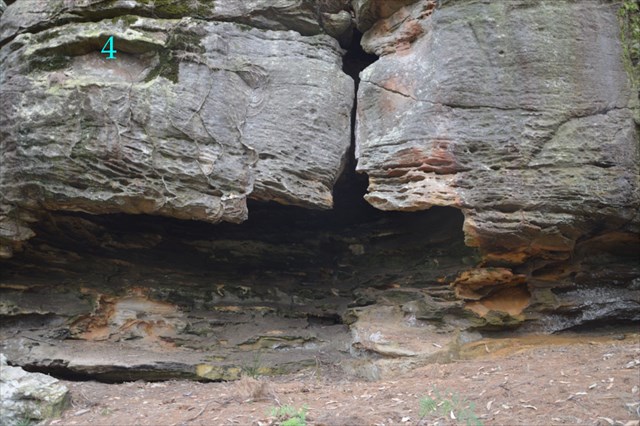
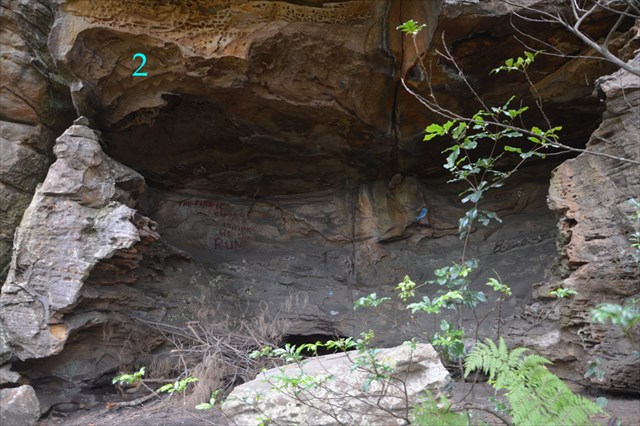
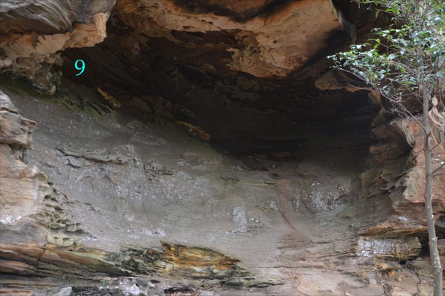
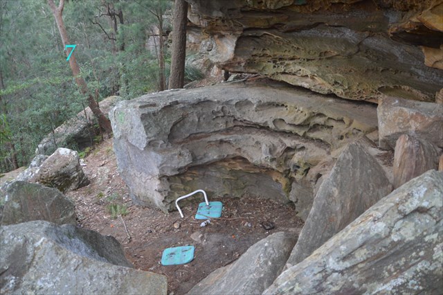
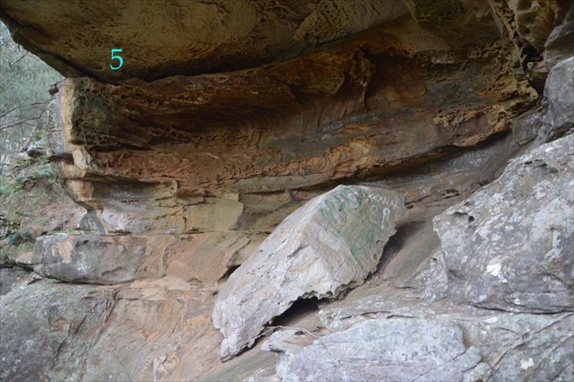
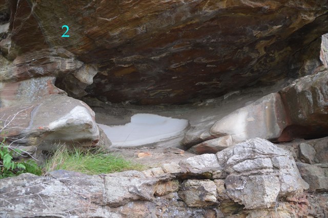
Write the blue number in the matching photo alongside each of the waypoints below:
Cave A =
Cave B =
Cave C =
Cave D =
Cave E =
Cave F =
The cache is at S 33° 30.ABC E 151° 18.DEF

My thanks to GeoMonkeys whose now-archived A King's View cache first led me to this amazing location.
Congratulations to Mr&MrsFish for being first to tour the caves.