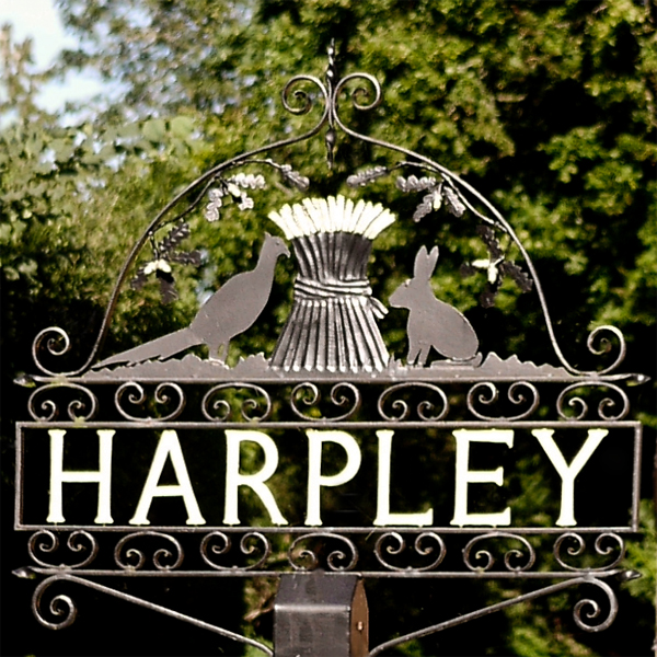
The sign shows the agricultural links to the area.
The village is 12 miles (19 km) north-east of King's Lynn and 2.2 (3.5km) north of Great Massingham. The village is on the south side of the A148 King's Lynn to Cromer road. There is an Anglican church, and a primary school (which celebrated its centenary in 2008). It has a Pub . The two shops, and a Post Office which used to operate in the village have closed. A Methodist chapel in Nethergate Street has been converted into a private dwelling. Nearby points of interest include Houghton Hall located north of the parish and the Peddars Way, accessible from the A148 just west of town.
Kings Lynn is E000
If anybody would like to expand to this series please do. I would just ask that you let SmokeyPugs know first so they can keep track of the Village Sign numbers and names to avoid duplication.