Shadow Traditional Geocache
-
Difficulty:
-

-
Terrain:
-

Size:  (small)
Please note Use of geocaching.com services is subject to the terms and conditions
in our disclaimer.
Sjena

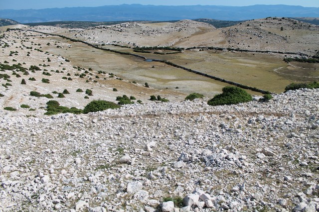
 Otok Krk je jako zanimljivo odredište za planinarenje. Od Vrbnika se prema jugu razilaze dvije planinske kose zatvarajući prostrano Bašćansko polje. Jugozapadno od polja nalazi se najviši vrh otoka, Obzova.
Osim Obzove, na otoku je još mnogo zanimljivih mjesta za planinarenje. Po povratku s Obzove preko Vele lokve zasigurno će vas već dobrano prigrijati sunce i poželjet ćete barem malo hlada. Ova malena stijena je idealno mjesto da se odmorite i skupite snagu za završnu šetnju.
Napomena:
Izbjegavajte planinarenje po otoku po jakom suncu. Idite na izlet po oblačnom vremenu. Ili rano ujutro. I ponesite si dosta vode. Gore nema pitke vode.
Pomoć:
Turističke obilježene staze (Turistička zajednica općine Baška)
 Shadow
The island of Krk is a very interesting destination for hiking. From Vrbnik to the south two mountain chains are separating, and closing the large Baška field. Southwest of the field is the highest peak on the island, Obzova.
Besides Obzova, there are many interesting places for hiking on the island. After returning from Obzova over Vela lokva you will surely be heated up by the sun and you'll want at least a little shade. This small rock is an ideal place to rest and gather strength for the final walk.
Note:
Avoid hiking on the island in bright sunlight. Go on a trip on a cloudy day. Or early in the morning. And bring plenty of water. There is no drinking water up there.
Help:
Marked tourist footpaths (Municipal tourism office Baška)

Additional Hints
(Decrypt)
[HR]: xnzrawr - ivqv fcbwyre fyvxh
[ENG]: fgbarf - frr fcbvyre