
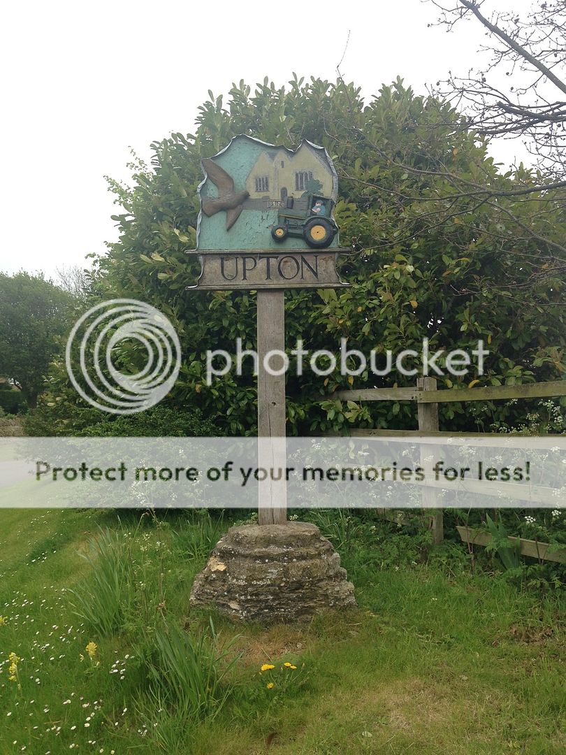
Upton History and Buildings.
There has been a settlement at Upton since at least the Roman period and possibly earlier. The general RCHM archaeological survey of 1968 identifies three enclosures in the parish of Upton. One is marked by well-defined and wide ditches that enclose a rectangular area of 1.5 acres at the point Ermine Street joins with the Roman road to Wansford. It is only visible from the air. There is a second enclosure of two acres immediately to the North West of the first.
North East of the Roman enclosures is a larger undated enclosure of 2.25 acres that could indicate earlier occupation. It is apparently divided into two equal parts by an internal ditch and there appear to be traces of a smaller enclosure to its North West. There is also an enclosure complex that crosses the boundary with Ailsworth parish.
A Roman villa was surveyed in the Autumn of 2002, prior to which, coins dating from AD330, and a 1st century bronze brooch were found [1]. The villa consists of a main block measuring 35 metres by 18 metres on NNE-SSW orientation. A large number of tesserae, hypocaust and roof tiles found at the site all suggest a large residential building. A few years ago parts of columns were found, and a Roman coffin was discovered on Model Farm land. It is now used for cultivating wall-flowers. A Saxon gilt brooch was also discovered at Upton, reported in Anglo-Saxon Cambridgeshire.
If you would like to add to the VS (village sign) series, please contact the SmokeyPugs for a number, to avoid duplication.