
Cache Information:
Cache #: 16
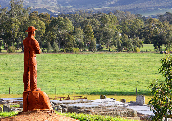
Location: Goodear Lane, Yarck
Access: All Vehicles, 24/7
Facilities: Parking, Fuel & Food
Details:
A geocache hidden at the sports ground in Yarck, a great spot to let the family including the dogs out for a run.
Additional Information:
Yarck is located in the Shire of Murrindindi with a population of around 250 people. It is a small tourist support town 33 km from Bonnie Doon, 53 km from Mansfield, 15 km from Alexandra and 39 km from Eildon on the Maroondah Highway.
History:
Explorers Hume and Hovell passed through the area 3 December 1824. After white settlement the area became known as Home Creek. The area was first opened up for selection 1865 with the township established towards the end of the gold rush in the late 1860s. The Post Office first opened February 1877 and other buildings later established at the township included a school, store, Mechanics Institute hall, three churches and a racing club. The township was renamed Yarck in 1903. The remains of a tree avenue planted in the early 1900s can still be seen along the main highway today.