
Cache Information:
Cache #: 10
Location: Delatite Plantation Road
Access: All Vehicles, 24/7
Facilities: Parking, Camping
Details:
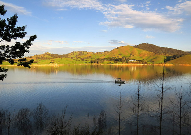
A geocache hidden along the Delatite Plantation Road on Lake Eildon National Park. This area was originally the valley of the Delatite River before being flooded by the lake.
Additional Information:
The Delatite Arm of the Lake Eildon National Park is home to 18 Camping Grounds, located north west of Goughs Bay on Walsh's Road (called Plantation Road after Highett Point). The fist camp ground (The Orchard) is located just 8 km from Goughs Bay.
History:
The Delatite river is a perennial river that is a part of the enormous Murray-Darling basin catchment area. It flowed through this countryside on its journey to meet with the larger Goulburn River near the current township of Eildon. The river was named after the wife of a former local indigenous leader of the Yowung-illum-baluks of the Taungurung people who once hunted and lived in this district. In 1956 an expansion to the Sugarloaf Weir saw the Lake expand and flood this section of the river.