Welcome to "The End of Wisconsin." If you look at a map of Wisconsin, It's pretty easy to find northernmost point in the state, as well as the eastern and western points. (The southern point is a little harder to discern) This spot, right near this cache, is the easternmost point in Wisconsin, and standing here, you will become the easternmost person in Wisconsin, at least on dry land.*
This cache was originally near the lighthouse, and was one of the state's oldest geocaches, originally hidden in 2001, but it was retired at the request of Randall Holm, DNR Park Ranger, due to it being located in a State Natural Area. In honor of this ancient cache, the original cache log book, dating all the way back 13 years, remains as the log book.
UPDATE June 2016:The cache ammo can was discovered missing and was replaced during the Rock Island event by 2_UP_GEOLOGISTS with permission by the Trail Boss. The cache cannot be reached from the top of the bluff. It was placed on the rock ledge about half-way up (~6 ft), with two beach stones hiding the view and a thin rock layer sheet covers the cache with a stone on top. This cache is located relatively close to some backpacking camping sites, so please be courteous and respectable of campers and other island guests. You do NOT need to, nor should you, tramp through someone's campsite to find this cache. It can be approached from different directions. Please use the provided WPs for direction.
The Geocache Notification Form has been submitted to Randall Holm of the Wisconsin DNR. Geocaches placed on Wisconsin Department of Natural Resource managed lands require permission by means of a notification form. Please print out a paper copy of the notification form, fill in all required information, then submit it to the land manager. The DNR Notification form and land manager information can be obtained at: http://www.wi-geocaching.com/hiding

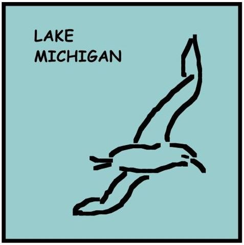
The Lake Michigan shoreline dominates the till plains biome. This biome was shaped by the last glaciation with glacial till left behind forming the landscape of eskers, drumlins and moraines most easily seen within the Kettle Moraine forest units. The lakeshore displays sand dunes that will often adjoin tamarack swamplands. Close to Lake Michigan’s shores, birds of water such as shorebirds and ducks will be found. Animal life may include White Tailed Deer and small mammals such as otters and fox.
WISCONSIN GEOCACHING ASSOCIATION
The Wisconsin Geocaching Association (WGA) is a group of geocachers dedicated to promoting and protecting geocaching within the state of Wisconsin. The WGA organizes geocaching events, works with land owners/managers on geocaching policies, educates the public at large about geocaching, and facilitates communication between WGA members. To learn more about the WGA visit: www.wi-geocaching.com
2013 kicks off the beginning of the Wisconsin Geocaching Association State Parks series. It is our goal to place a geocache in every state park in the state of Wisconsin so watch out for more in this series that encourages geocachers to explore the natural resources in this beautiful state of ours.
This a WGA STATE PARK SERIES geocache:
 |