South 35 [(R+C+T)/X] . [P/B] [K/(C+G)] [2L]
East 149 [(O+E)/Z/A ] . [Z] [(J+N-M-U)/(2X)] [P-E-L]
Checksums: S29 E35
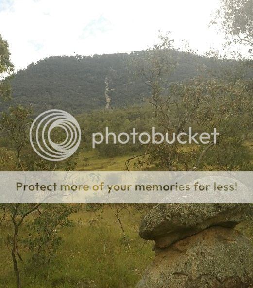
Yep, you guessed it you are heading UP there. You can see your route to the summit (or at least quite a bit of it) but a good place to head for first off is the base of the scar at:
South 35 [(R+C+T)/X] . [G] [A] [X]
East 149 [(O+E)/Z/A +L ] . [A] [G] [C]
Checksums: S24 E33
This first section is possibly the most overgrown. Whilst the terrain does certainly get steeper it then becomes more open.
Once you have reached GZ you will be more or less the top of the feature. Enjoy a breather and the views and check the spoiler pic to narrow down the search field. Your choices are to either
(a) descend the same way (not recommended - it's much harder down than up in my opinion), or
(b) continue directly upwards and meet up with the main trail in 300m or so.
I recommend NOT to attempt this cache if there has been, or is forecast to be, heavy rain. The scar itself is a gully for the natural run-off from Mt Tennent and will remain wet for several days after rain. There are several sections that will require good balance and sturdy footwear.