Tønder - Syddanmark - Danmark Traditional Geocache
Tønder - Syddanmark - Danmark
-
Difficulty:
-

-
Terrain:
-
Size:  (regular)
Please note Use of geocaching.com services is subject to the terms and conditions
in our disclaimer.
Tønder - Syddanmark - Danmark
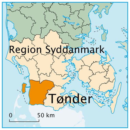

Denne cache er en del af den længste “multi” cache i region Syddanmark. Serien havde oprindelig til formål at sætte fokus på danmarkskortet efter kommunalreformen i 2007. Der er cacher i alle 98 kommuner og de 5 regioner. For at finde en regions cache, skal du først finde alle kommunecacher i den region. Koordinaterne til regionscachen er placeret forrest i logbogen. Denne cache er nr. 2 i Tønder Kommune, da den tidligere cache er lukket.
.

This cache is part of the longest "multi" cache in the region of Southern Denmark. The trail was originally made with the purpose to set focus on the map off Denmark after the new local government in 2007. There are caches in all 98 municipalities and 5 regions. To find a region cache you have to locate all municipalities’s in the same region. Coordinates for the region cache is placed at the first page of the logbook. This cache is no. 2 in Tønder municipality as the previous cache is closed.
____________________________________________________________________________________
Velkommen til Tønder - der ligger mange oplevelser og venter !
Welcome to Tønder – Many experiences are waiting for you ! !
www.toender.dk
www.romo.dk
____________________________________________________________________________________
Kommunen er en sammenlægning af følgende kommuner:
The municipality is a merge of the following municipalities:
• Bredebro Kommune
• Højer Kommune
• Løgumkloster Kommune
• Nørre-Rangstrup Kommune
• Skærbæk Kommune
• Tønder Kommune
Fakta / Facts
• Kommune sæde / Seat of the municipality
|
Tønder
|
• Areal / Area
|
1.278 km2
|
• Indbyggere / Population
|
38.686 pr. 2013
|
_____________________________________________________________
Hønning plantage
Hønning Plantage er på 516 ha og blev for størsteparten opkøbt af den prøjsiske stat i 1882 og lagt sammen med Lindet Skov. I områderne umiddelbart syd for Lindet Skov fandtes rester af fortidens skove i form af et lavt egekrat. Pollen analyser fra stedet viser, at egen kun i de seneste par hundrede år har været dominerende i krattet.
Tidligere var der en blandings skov af bøg og skovlind. Der findes stadig enkelte eksemplarer af de to træarter i egekrattet. Ved forstlig pleje er egekrattet gennem de sidste 100 år blevet forvandlet til en højstammet egeskov.
|
Hønning Plantage is 516 hectares and was for the most part acquired by the Prussian government in 1882 and merged with Lindet Forest. In areas immediately south for Lindet Forest is found the remains of ancient forests in the form of a low oak. Pollen analyzes of the site shows that the oak only in the last few hundred years has been dominant in the brushwood.
Earlier there was a mixed forest of beech and linden wood. There are still a few copies of the two species in the low oak forrest. Through the last 100 years the forrest has been transformed into a tall oak tree trunk forest.
|
Additional Hints
(Decrypt)
V rg uhy haqre ohfx
Va n ubyr haqre n ohfu