Please take care to re-attach the handle to the bucket if it becomes detached!
When one ponders that Winnipeg is the regional headquarters of both Canadian National and Canadian Pacific Railways, it isn’t too difficult to believe. But it wasn’t always the obvious location. In the early 1870-80s, when the CPR was building its main line westward toward the Pacific Ocean, it had to decide how and where to cross the flood-prone Red River. Topographically, the natural choice was Selkirk, which sits at a more favourable elevation than its upstream neighbour. But Winnipeg was the provincial capital and economic centre of Manitoba, and so naturally desired to have the rail come its way instead.
To convince the CPR to turn away from Selkirk, Winnipeg needed to build a bridge capable of handling the CPR’s trains. With $300,000, the city got to work and, in 1881, the Louise Bridge opened in northeast Winnipeg. (It was the first bridge constructed in Winnipeg. For more information, see GC46BC0.) In addition, the railway demanded land for a station, civic tax-exempt status, and $200,000 cash. The station was built at the corner of present-day McPhillips Street and Jarvis Avenue. Exempt from municipal taxes, the CPR set about building maintenance depots and expansive yards, cementing Winnipeg as its regional headquarters. To this day, the Canadian Pacific Rail Yards “separate” Winnipeg’s North End from the rest of the city.
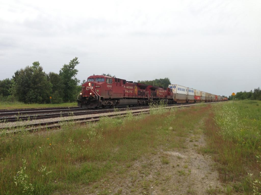
It took a couple of years before the CPR decided finally to direct its main line through Winnipeg. In the mean time, construction of the line had been progressing slowly but steadily directly toward Selkirk from as far away as Rennie, Manitoba. Shortly after reaching the rail stop at Molson, the main line was abruptly redirected southwest, making a beeline for Winnipeg. This cache is placed close to the location of this change of course. The line to Selkirk was later completed as far as present-day PTH 59, where it joined with a branch line connecting East Selkirk and St. Boniface. The line never reached the City of Selkirk itself.
A piece of trivia: the bend in the track, by my calculations, is 33.75 degrees. There’s an FTF certificate and a TB for the first finder.
FTF: klblue