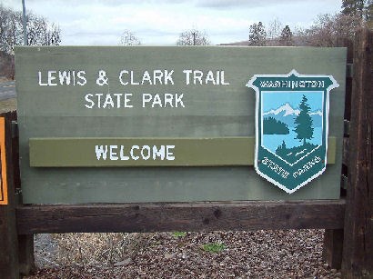
Lewis and Clark Trail State Park is a 37-acre camping park with 1,333 feet of freshwater shoreline on the Touchet River. The park is a rare treasure of old-growth forest and river in the midst of the surrounding arid grassland.
Park hours/updates:
Summer: 6:30 a.m. to dusk.
Winter: The park closes Nov. 1, reopens March 29.
Camping:
Check-in time, 2:30 p.m.
Check-out time, 1 p.m.
Quiet hours: 10 p.m. to 6:30 a.m.
A Discover Pass is required in the park.
History
The park is located on the historic Nimipooiskit trail that extends from the Rocky Mountains to the Pacific Ocean. Remnants of the trail can be observed near the park.
The explorers Lewis & Clark (for whom the park is named) passed through the property in 1806 and commented on the unusual character of the vegetation.
The park was originally homesteaded by the Bateman family in 1864 and was the site for neighboring farmers' post-harvest picnics and games. Homesteading began in the region in 1859. Some of the original homestead sites still remain.
Mammoth fossils have been found near the park. It is believed they were carried in during the numerous Ice Age Floods. The Columbian mammoth fossil is the official fossil of Washington state.
In 1996, catastrophic flooding occurred, laying down a million cubic feet of sediment in the park. Two additional major floods happened within the year. Periodic flooding is characteristic of riparian (river-related) terrain, and gives the park its distinctive character.
The day-use-area restroom was constructed in 1934 from 10,000 stones acquired from the Touchet River. The day-use-area kitchen shelter was also built in the 1930s and exhibits features of that period.
Driving Directions
Located 25 miles northeast of Walla Walla, Wash., in the southeastern corner of the state in Columbia County.
From theTri-cities: Go south on Highway 12 and turn left (east) onto Highway 124. At Waitsburg, turn right at stop sign and then turn immediately left onto Coppei Ave. At next stop sign, go straight onto Highway 12. Continue east 4.5 miles to park entrances (day-use on right, and camping on left).

|
- This geocache has an approved Permit to be placed at this location on property managed by the Washington State Parks and Recreation Commission. Visitors are responsible for acquainting themselves with policies and rules pertaining to State Parks areas.
- The following items may not be placed in the geocache: food, illegal substances, medications, personal hygiene products, pornographic materials, hazardous materials, or weapons of any type.
- By searching for the cache, visitors agree that they are responsible for their own actions, and acknowledge that neither the State of Washington nor the cache owner is responsible for any loss or injury that may occur in relation to such search.
- Report any incident, problem, or violation to State Parks staff.
|