This cache will be moved in and around Alberta and Geocachers from all areas in the Province will get a chance to log it
Check the page often for new locations.
Due to the new rules by geocaching.com that was put in place May 8th 2017 this cache can only be logged as a find once per geocacher.
You can still keep track of your brass cap finds on the [Stats & Logs pages](http://brasscap.albertabattlecache.ca/). Log your find with a "Write note" and include one of the following strings somewhere in your log text: (FOUND), [FOUND], {FOUND} or {*FOUND*}. The update job will detect this the next time it runs and count your log as a find rather than a note. Your find count won't change on geocaching.com, but it will on the Stats & Logs pages. Your log will show up as a find in the statistics and in the generated GPX files.
The cache can be logged from previous postings.There are over 600 past posted caps that can be logged.
To log this cache:
*Email me the BCP number,name,and cap numbers that are stamped on the cap or a description of the BCP
*Start your log with the BCP number and name in that order
An example - BCP500 Evan's Cap
*Do not post the numbers that are stamped on the cap or pictures of the cap with the numbers in your log
*You can post pictures of the the cap in your log minus the numbers that are stamped on the cap
*Logs will be deleted if these requirements are not met
* You can post your own coords in your log. Past Cap postings can be found on the GPX file link and by checking the logs
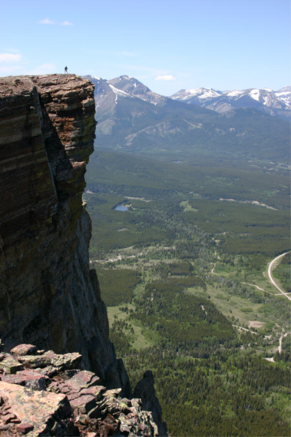
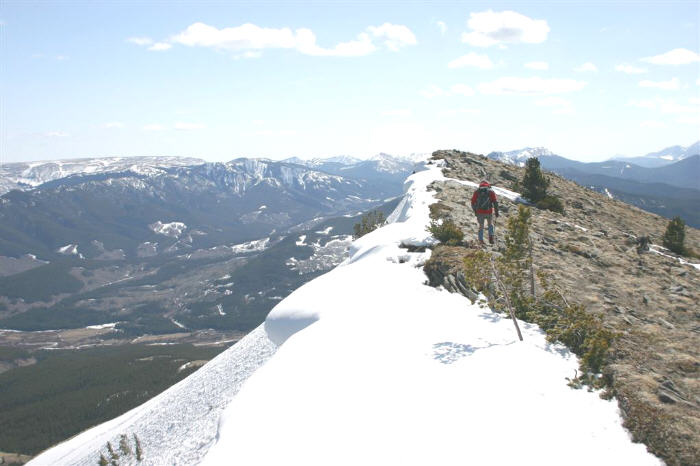
The Alberta Brass Cap: The original intent was to have a large network every 6 miles North South and East West across Alberta. Each cap is visible (if possible) to a minimum of 3 other caps for triangulation purposes. These caps were originally intended to be the basis for a coverage network so that all Cadastral Surveys would be connected, aligned and all points easily replaced in years to come with a common grid as a reference point. The advent of GPS and easy accesibility to the Global Positioning System put a stop to this in 1994. The caps are still used today by surveyors as elevation Benchmarks and for grid ties if within 1000 metres of a Legal Survey boundary they are surveying. The province is blanketed with thousands of these caps. The ORIGINAL numbering system was based on Latitudes and Longitudes. ie: 54 113.234 54 would have been the degrees of latitude,113 would have been the degrees of longitude and the number 234 would have been the 234th cap placed inside the grid.This was the very first series of caps which were set in the very beginning.They changed the numbering system in phase 2 to match the mapsheets they were placed in and then around 1987 they changed the entire numbering system again to a random 4-6 series number, so if it is stamped with 123456 then it is a newer cap and not in the Old system