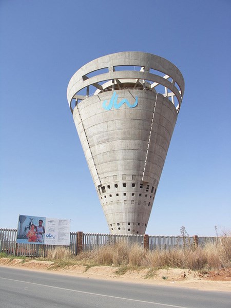
A water tower is an elevated structure supporting a water tank constructed at a height sufficient to pressurise a water supply system for the distribution of potable water.
Operation
The height of the tower provides the pressure for the water supply system, and it may be supplemented with a pump. The volume of the reservoir and diameter of the piping provide and sustain flow rate. However, relying on a pump to provide pressure is expensive; to keep up with varying demand, the pump would have to be sized to meet peak demands. During periods of low demand, jockey pumps are used to meet these lower water flow requirements. The water tower reduces the need for electrical consumption of cycling pumps and thus the need for an expensive pump control system, as this system would have to be sized sufficiently to give the same pressure at high flow rates.
Decoration
Water towers can be a large uniquely designed structures, sometimes surrounded by ornate coverings including fancy brickwork or they can be simply painted. In some parts of the world, city water towers have the name of the city painted in large letters and have been used as as a navigational aid to aviators and motorists. Sometimes the decoration can be humorous, there are water towers built side by side, labelled HOT and COLD.
Prof. Carl Anhaeusser of the Geology Department at WITS says "Regarding the geology underlying the various water towers on the Jo’burg Dome, I can tell you that most of them are on the fault zone that extends from east of the Northcliff Ridge across the Dome in a NNE direction towards Pretoria. The Dome has many fault zones, examples being the prominent ridge that forms the Randpark Ridge area. These fault zones are crush zones in the granites that have allowed fluids carrying silica to move up through the broken rock, replacing various granite minerals and introducing quartz veins (the silica) into the broken and sheared granites.
The result is that the siliceous crush or fault zones are rendered more resistant to weathering and erosion than the surrounding granites. Hence the zones emerge as ridges protruding above the surrounding terrain.
The biggest of all the many fault zones is the one that passes NE from Northcliff through Randburg towards Bryanston and beyond to Kyalami and then on to Pretoria. The ridges being on higher ground are ideal spots to site water towers as they provide a ‘head’ allowing for gravity distribution of water to the suburbs in lower lying areas. Thus no pumping is required to get the water into peoples homes. All they have to do is keep the towers filled and they are then drained off when people open their taps".
At times this area has muggles walking from A to B, execise stealth. Do not compromise the cache if there are too many muggles. The container is too small for trackables. Please bring your own pen.