Nad Horni Lipovou Multi-Cache
-
Difficulty:
-

-
Terrain:
-

Size:  (small)
Please note Use of geocaching.com services is subject to the terms and conditions
in our disclaimer.
[CZ]: Krátká a snadná jednozastávková multinka.
[EN]: Short and easy one-stage multicache.
[CZ]
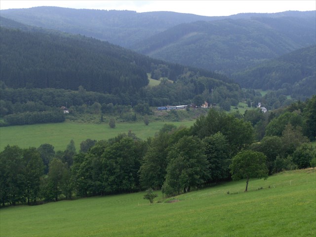
Horní Lipová je milá vesnička spadající pod obec Lipová - lázně, která je v současnosti především střediskem zimní i letní horské turistiky, související též s lázeňstvím. Bylo zde otevřeno Muzeum Slezského Semmeringu, zaměřující se na historii zdejší malebné i technicky zajímavé železniční trati, která je při návštěvě této oblasti nepřehlédnutelná. Další informace lze nalézt na oficiálních stránkách obce Lipová - lázně. Při návštěvě Horní Lipové nezapomeňte navštívit krabičky Studanka cisare Josefa II a asi 2 km vzdálený unikátní Lesni bar - Horni lipova.
[EN]
Horní Lipová is a nice village arise under municipality of Lipová – lázně that is nowadays mainly the resort of winter and summer mountain tourism, related also to spa activities. There was opened the Museum of Silesian Semmering that is focused on the history of the local scenic and technical interesting railway route that is noticeable during visiting this area. Other information you can find out on the official website of the city Lipová - lázně. During visit of Horní Lipová do not forget to visit caches Studanka cisare Josefa II (Kaiser Josef II Spring) and approximately 2 km far unique Lesni bar - Horni Lipova (Forest bar).
[CZ]
K nalezení finální krabičky budete potřebovat znát číslo A a B. Nedaleko výchozích souřadnicích naleznete dva rozcestníky a jednu tabuli s mapou.
Číslo A zjistíte pohledem na jeden z rozcestníků, kde spočtete počet "okvětních lístků" na stříšce. Oba rozcestníky mají stejný počet těchto "okvětních lístků".
Číslo B zjistíte tak, že sečtete všechny listy vyryté na sloupech u obou rozcestníků a mapy.
Od severní výšky výchozích souřadnic odečtěte tyto tisíciny minut: ( 5 * A + 6 * B + 3 ) a k východní délce přičtěte tyto tisíciny minut ( 20 * A + 8 * B + 6 ). Pokud jsou vypočtené souřadnice vzdáleny něco přes 500 metrů a jsou blízko žluté turistické trasy, tak jste snad počítali správně. Užijte si odlov!
[EN]
For finding the final stage you have to know numbers A and B. Close to the starting coordinates you find two guideposts and one table with map.
Number A you find out by looking at one of the guideposts where you count the number of "petals" in the roof. Both guideposts have the same number of these "petals".
Number B you find out by counting all the leaves that are graven on the poles at both guideposts and the map.
From the north longitude of the starting coordinates you subtract these thousandths of minutes: ( 5 * A + 6 * B + 3 ) and to the east latitude add these thousandths of minutes ( 20 * A + 8 * B + 6 ) . If your counted coordinates are in distance little above 500 metres and if they are close to yellow touristic pathway than you probably counted well. Enjoy your hunting!
Additional Hints
(Decrypt)
[CZ] h xberah fgebzh cbq xnzraabh cbxyvpxbh
[EN] ng gerr ebbgf haqre fgbar yvq