This cache has been placed with the support of South Nation Conservation (SNC)
SNC is one of 36 conservation authorities in Ontario. SNC focuses on a variety of conservation practices within the South Nation watershed. see map: (SNC Watershed)
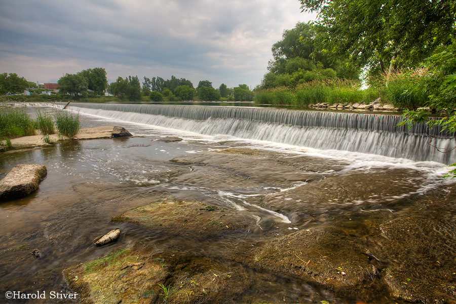
A regular, traditional geocache at High Falls Conservation Area, near the parking lot.
This Conservation Area consists of two parcels of land totaling 2.25 hectares located on either side of the South Nation River. This area offers interesting views, particularly of the old Coupal Dam, which still stands. It is situated on the western edge of the Village of Casselman and is easily accessible from County Road 3. This day use park offers a picnic site for your enjoyment. Along the river's edge picnic tables and benches are situated amongst maples, ash and willows. Other facilities includes barbecues, privies, and a picnic shelter. The area on the north side of the river is equipped with a boat ramp and wooden dock to assist with boat launching into the South Nation River. Boaters can travel upstream only as the Casselman weir prevents downstream movement.
This cache was placed for SNCITO3. Please don’t search for it until April 28, 2012 at 9:00 AM, or until you've finished eating your SNCITO3 breakfast- whichever comes first!