WALK THE FULL LENGTH OF THIS BEAUTIFUL TRACK OR DO SECTIONS INDIVIDUALLY
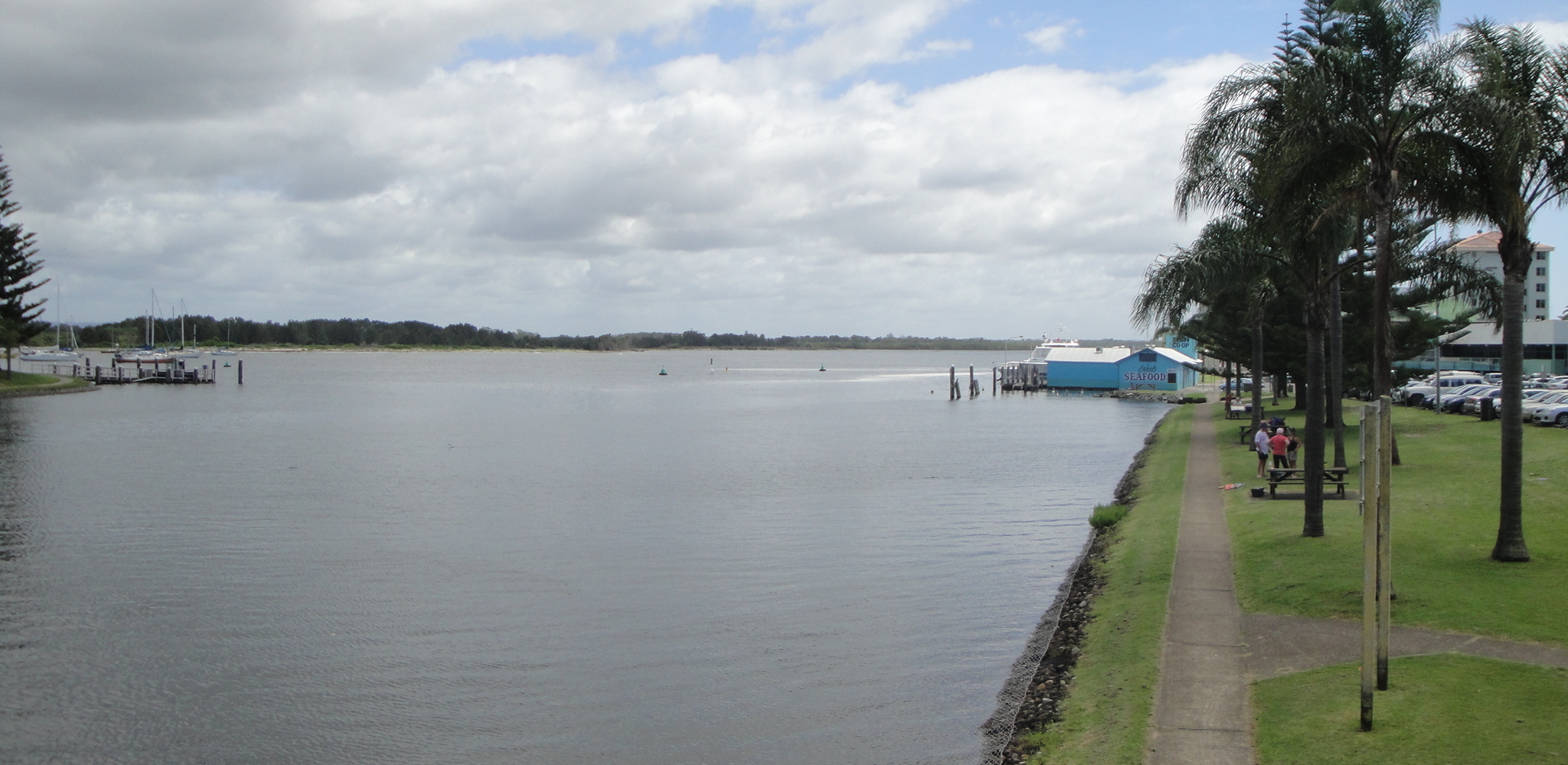 View from Kooloonbung Creek bridge
The Walk
The Port Macquarie Coastal Walk was developed over many years and completed in August 2009. It comprises a well developed bush track, paved sections, beach walks and some steps.
The full length of the Coastal Walk from Tacking Point Lighthouse to Westport Park is 9.1 km but there are plenty of exit and entry points. Caches in our series can be tackled individually, or the entire track can be walked south-to-north so you can collect several in one stroll. [Note: This is our eighth Section. The first can be found at GC39ERW "Coastal Walk #1: Beautiful Lighthouse Beach". Please refer to this first cache for public transport information and advice, and status of other caches in the series, should you wish to do the whole Coastal Walk]. You will pass other people's caches along the way, so get these too if you have not done so already. Most people of reasonable fitness should be able to do the full walk, or manage all sections individually.
The locale
The best view from the start of this section is to the north, over the water. To your east is a rather sad shopping centre which looks like time has passed it by. It was developed in the late 1960s as the first "complex" of its type in Port. It used to have a nice little Austrian restaurant in which we dined, on our honeymoon in 1971, before hurrying back to the Historic Well Motel.
The footpath along William St, down the length of this relic, contains twelve embedded names. It's certainly nothing like the famous Hollywood Walk of Fame in which star's names are recorded. But it has some names relevant to the early days of Port Macquarie. We did not notice them in 1971!
You would have already encountered one of these names, Surveyor General John Oxley, if you have looked for our CW #6. He was the first European visitor to Port Macquarie in 1818, naming the location after Governor Lachlan Macquarie (whose name appears attached to innumerable rivers, plains, marshes, streets and towns).
Another of those celebrated, Thomas Scott, first grew sugar cane here in 1824. You would not be expected to know that but, as my career was spent in the sugar industry, I did! The venture was not a success. The Central Coast town of Tascott perpetuates his memory.
You might have heard of Major Achibald Clunes Innes, who gave his name to the nearby Lake Innes, but the rest are pretty much forgotten other than to dedicated local historians.
If you want more detail, the PM Historical Society has a small book called "Men of the Footpath" by Norrie Doyle (2007).
We will revive their names by using some of their associated dates to allow you to move to the cache.
The Coastal Walk is popular with locals and visitors alike and cachers will sometimes need stealth and patience to make their find.
The cache
This is a simple offset cache, nano in size.
Walk over the Kooloonbung Creek Bridge and then take the scenic path along the waterfront.
Once you have found it, the last remaining cache in the Series beckons: CW #9 The End of the Trail GC3BGK1.