A Picturesque circular walk of 33 traditional
caches and a Bonus starting from Wentnor and taking in the hamlets
of Norbury & Whitcot.
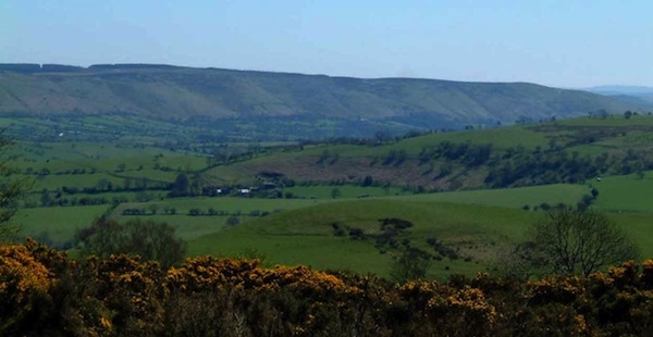
The walk has some astounding views of the
longmynd and Shropshire hills, the route is approximately 5½ miles
and should take around 4-5 hours depending on walking pace and
speed of finds, some parts involve a steady ascent to both Upper
Gravenor via the disused quarry & the return to Wentnor.
The attractive village of Wentnor lies on a
ridge to the west of the Long Mynd, with good views in all
directions, it dates back to Saxon times. The church of St. Michael
and All Angels is at one end of the ridge, and the views towards
the west from the churchyard are particularly spectacular.
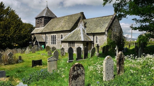
Towards the end of the walk the footpath takes
you through the churchyard where you could discover Carved into an
exterior corner of the church is an inverted 'face'. Inside the
church is a tombstone known as the Hurricane Tombstone - this is in
memory of a family who lost their lives in the nearby hamlet of
Asterton during a hurricane in 1772.
Opposite the church a cottage - now known as
White Horse Cottage, was once the local police station.