ALOHA from O'ahu
---Ahupua'a 'O Kahana---
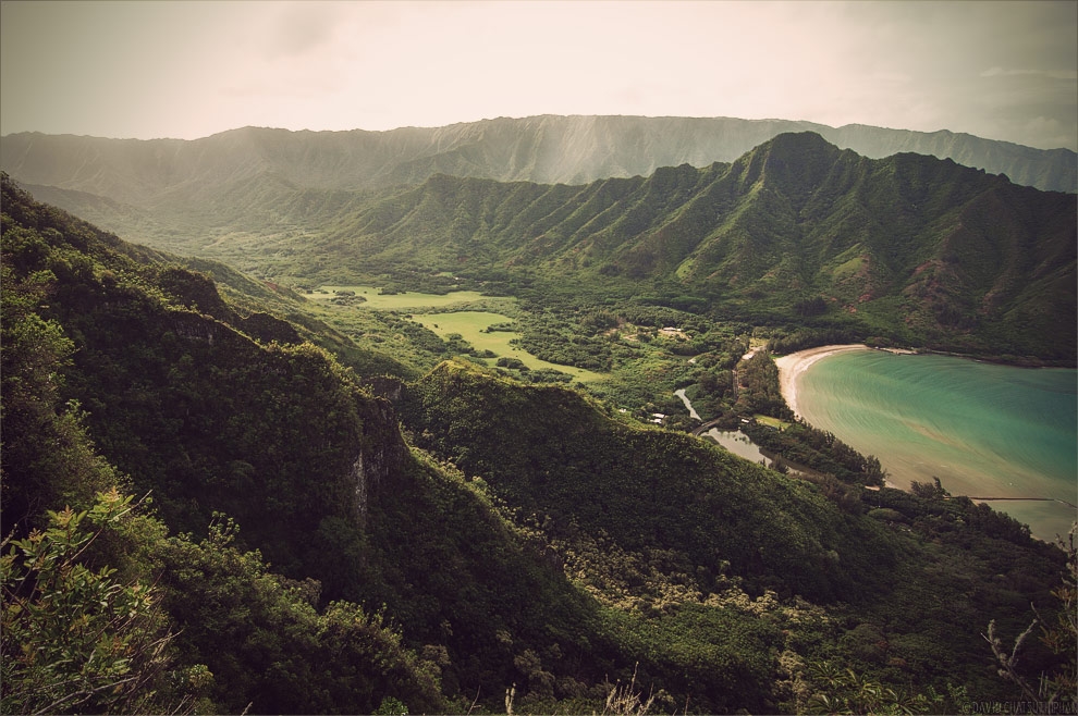
Kahana Valley
Ahupua'a 'O Kahana State Park is located on the windward side of O'ahu, between Kane'ohe and La'ie, and 26 miles from Honolulu. Kahana is a relatively unspoiled valley, and one of only a few publicly owned ahupua'a, or ancient Hawaiian land division, in the state.
An ahupua'a includes lands from the mountains to the sea (mauka-makai), encompassing all the resource zones needed for subsistence. The ahupua'a of Kahana encompasses almost 5,300 acres, ranging from sea level at Kahana Bay to 2,670 feet at Pu'u Pauao on the crest of the Ko'olau mountains. Kahana is one of the wettest valleys on O'ahu. Overcast skies and showers are frequent, with an average annual rainfall of 75 inches along the coast to 300 inches at the back of the valley. Temperatures can range from approximately 65 to 85 degrees F.
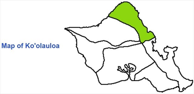
Ahupua'a of Ko'olauloa
Before Western civilization came to the islands, Kahana had a strong community. It had fresh water, abundant seafood, and a stable supply of taro, which was grown in fields with advanced irrigation systems. However, around the time of King Kamehameha's unification of Hawai'i in the 1800s, the community fell into steep decline due to foreign diseases, sugarcane cultivation and the military's use of the valley as a World War II jungle warfare training center.
In the early 1900s most of the valley was owned by Mary E. Foster, and after her death the valley was given to the Bishop Estate. The state proposed a purchase of the ahupua'a, which was rejected. The Foster estate was not satisfied with the purchase plan, which was for $5,000,000 being paid 1 million per year for 5 years, since the legislature at the time could not ensure future payments. The state forced the purchase through condemnation, later fulfilling their debt. The land later became a state park. Today, only 31 families live in the valley.
Hours: 7:00am to 7:45pm, April 1 to 1st Monday in September; 7:00am to 6:45pm 1st Tuesday in September to March 31
You DO NOT need to enter the housing area to find the cache.
~~~For the puzzle, maybe info on current land divisions will help.~~~
Cache is at:
NORTH:
Kualoa
'Ewa Beach
Waimanālo
Kane'ohe
Kailua
Pearl City
Palolo Valley
WEST:
Wai'anae
Kaka'ako
Sand Island
Mānoa
Kahuku
Mō'ili'ili
Crestview
Kalihi Kai

You can validate your puzzle solution with certitude.
 Cache with Al
 ha
ha
Congrats tennyogirl on the FTF!!!