At these coords, you will be standing at the lowest point in Australia. At around 15m below sea level, Lake Eyre is part of the Lake Eyre basin, a catchment area about the same size as Italy, France and Germany combined, forming part of the Great Artesian Basin.
Formation
Lake Eyre is believed to have formed during the early Tertiary period, around 60 million years ago, when this warm, wet and well-forested region started to sink. For millions of years, the river systems deposited large amounts of sediments, forming a network of lakes, and around 120,000 years ago, the first signs of the single large body of water known as Lake Eyre began to appear.
As the continent drifted further north and the climate became warmer and arid, the lakes and surrounding landscape began to dry up. A series of ice ages lasting up until about 18,000 years ago hastened the desertification process. Powerful winds swept up sand dunes, choking the rivers that fed the lake, and a salt crust began to form over its surface.
Wildlife in the region became less common as the lake systems dried up; the giant, primitive wombats and native cats that once roamed the shores had become, quite literally, ancient history.
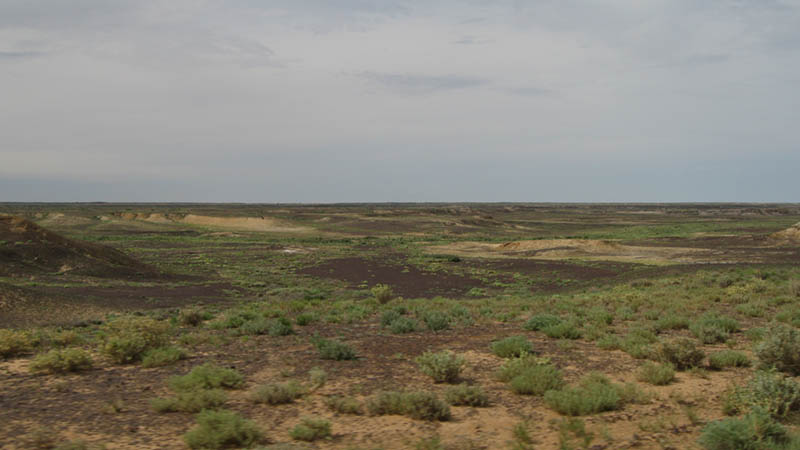
Some of the countryside around the lake, after the 2010 floods
Today
Lake Eyre is now the driest region in Australia, covering an area of approximately 9500 square kilometres. In spite of this, the massive catchment area of over 1.1 million square kilometres still allows the lake to contain water every 8 years, on average. A few months of sustained heavy flooding of its supplying rivers can be enough to fill Lake Eyre to a depth of a few metres, although this has only occurred a small number of times since the 1880s, with the record depth of just 6m achieved during the floods of 1974-76.
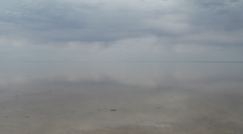
Lake Eyre North with a few cm of water
Entry:
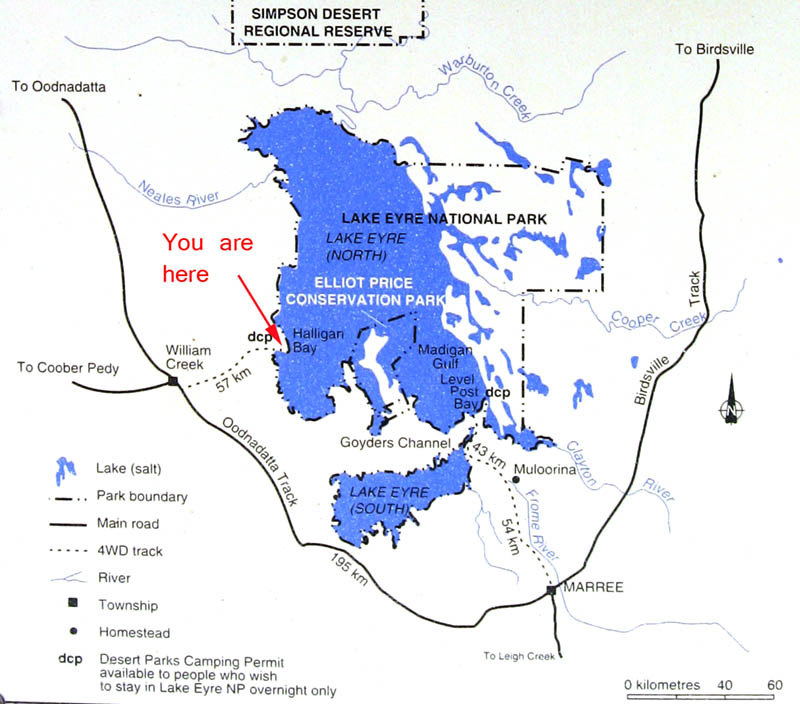
Lake Eyre is part of the Lake Eyre National Park. As such, a Desert Parks Pass is required to enter the Park. These are best purchased from National Parks and Wildlife SA before you leave; alternately, they may be purchased at the William Creek Hotel. The turnoff onto Halligan Bay Track is located approximately 10km southeast from William Creek. While a 4WD is not required for this road, it is advisable to use a vehicle with good ground clearance as the recent floods have left the road badly damaged in places. During times of flood, it is advisable not to travel this road as there is a good chance you'll end up bogged, or causing further damage to the track.
* * * WARNING * * *
This is an extremely arid area of the country, and very remote. If you are heading out in this direction, make sure you are well prepared, and carry supplies of water, food and fuel. Do not attempt this cache during the hot months! As is essential in any outback or remote region of Australia, carry emergency signalling devices and in the event of breakdown, do NOT leave your vehicle, as the result could be fatal. A monument on the side of the track is testament to this!
The Earthcache
To log a find on this Earthcache, you must answer the following questions from the information boards located at the given coordinates:
1. At GZ, what are you standing in, and exactly how low have you gone to get here?
2. How much water was held by Lake Eyre in 1975?
3. What causes the salt crust to form, and how thick can it be?
Lastly, as an optional extra, upload a photo of yourself (or your group) standing on the lake bed with the lake in the background.
Please send answers by email to the Earthcache owner. Incorrect answers or failure to send an email will result in your log being deleted.