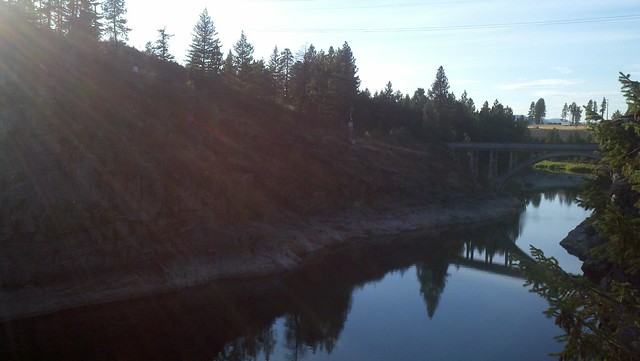
 "The Spokane River looking west"
The geologic history of the Falls Park area is long and
complicated. Major geological events which affected today's
appearance of the park span more than 1,500 million years. These
rocks tell us a story of deep burial, intense heat and and
pressure, upheaval, erosion and glacial flooding. The rocks began
as soft sediments in an ocean basin. They were deeply buried under
other sediments. Several periods of intense heat and pressure
changed the sediments into harder and harder stone.
Lake Missoula, the great "Ice Age" lake, was held in check by
ice dams in the lower Clark Fork canyon. As the lake filled the ice
dams would float upward and allow a torrent of flood water to
escape to the west. One of the floods routes was through this area.
The power of the floods scoured away the softer rock and exposed
this hard rock dike that controlled the level of the original Lake
Coeur D'Alene and created the falls.
Resources: Signage at the posted
coordinates.
To claim this Earthcache you
will have to answer the following questions and email me
(PaneledZero@gmail.com) the answers. Please do not post answers in
your log, If answers are posted, your log could be deleted without
warning. Make sure to post a photo if you can. Thank
you!
1. Visit the information center at the
above coordinates. Answers to 2, 3, & 4 can be found here.
2. The darker rocks contain minerals of
what type?
3. The lighter rocks contain minerals
of what type?
4. How high was the flood when it came
through this area?
5. Estimate the
distance across the river.
Extra Credit: In 1889,
what did H.W. Dart build?
Thanks for visiting!


PaneledZero
Platinum Earthcache Master
