En Gedi
This Earthcache is located inside the En Gedi Nature Reserve. Please check current opening hours and entrance fees here.
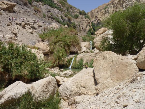
The En Gedi Nature reserve is located on the eastern edge of the Judean Desert, on the shore of the Dead Sea, the lowest place on earth (approximately 400 m below sea level). The reserve contains vast differences in elevation over relatively short distances and as a result, one of its distinguishing features is its sheer cliffs.
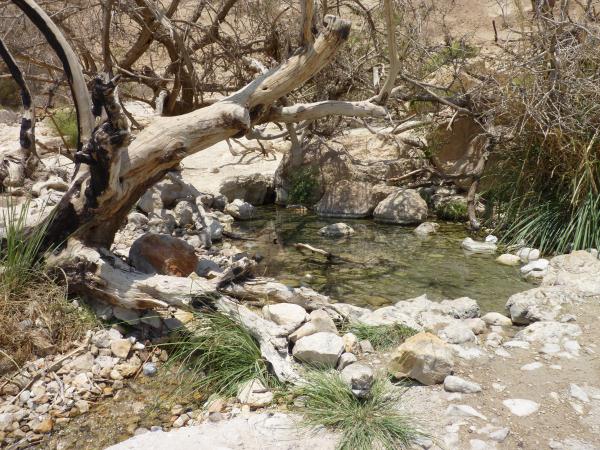
Two valleys run through the reserve: Wadi David in the north and Wadi Arugot in the south. Four sweet-water springs flow in the reserve: David´s Spring, flowing into Wadi David; Arugot Spring, flowing into Wadi Arugot; Shulamit and En Gedi Springs, flowing down the slopes between the two wadis. Together, the springs generate approximately three million cubic meters of water per year. They are fed by rain that falls in the Judean Mountains and seeps into the underground water table, flowing underground towards the east and finally welling up in the reserve. During winters with heavy rainfall, powerful floods run through the reserve. Much of the water is used for agriculture or is bottled for consumption.
The combination of the reserve´s geographic location, topographic composition, warm temperatures and lack of cold days, coupled with the abundance and quality of the water, make it possible for a variety of flora and fauna, representing different geographic regions, to survive within the territory of the En Gedi reserve. The En Gedi oasis is host to the densest concentration of tropical plants growing in Israel. In some cases this is the northernmost point at which they can be found.
Source: En Gedi Nature Reserve information brochure by Israel Nature and Parks Authority and Wikipedia
To log this Earthcache you have to fulfill the following tasks:
1) Optional: take a photo at the cache´s coordinate in front of the waterfall and upload it with your log.
2) Measure the difference of the altitude of the three lower waterfalls (see waypoints) and mail your result to me via my profile and don't forget to tell me your email-adress for my answer. Please wait with your log until you get the permission!
Logs without permission will be deleted immediateley
Bonus task: En Gedi Spring
If you want to log my Geocoin take a hike up to En Gedi Spring (you will need good condition, enough water and about 2 hours additional time!). Take a photo of you and your GPS there and upload the photo together with your log. You find the tracking number on the coins page. Every log without a photo will be deleted!