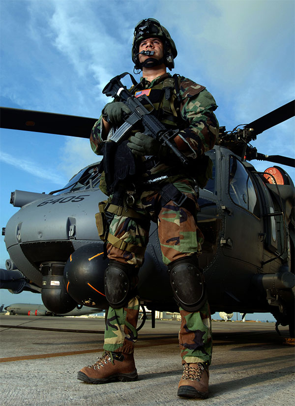
You need to envision yourself on a mission, flying over enemy
controlled territory when your aircraft is shot out from under you.
So after hurtling to the ground and taking in what has just
happened you now have to escape and evade thru bad guy country. So
how is this done?

To start with you have been given some secret information prior
to your mission like a WOD or Word of the Day, Number of the Day
and Color of the Day and SARNEG, Search and Rescue Numeric
Encryption Grid. This is stuff you, your unit, and the CSAR folks
know but that’s it.
For your mission today use the following:
WOD: Sandstone
NOD: 3
COD: Pink
SARNEG: BLACKHORSE
REMEMBER THIS STUFF YOU WILL NEED IT!!!!!
All of the above are used as a challenge and password or
encryption systems with the information changing daily so bad guys
have no idea what it will be. One day the color may be orange and
tomorrow green, etc. You are looking for military issue DECON
containers or ammo cans at all points and at the final.
Lets begin with what is called the SARDOT (Search and Rescue
Dot). This is a geographic point of prominence in the area. For
this cache we will say it is N42 42.481 W108 33.242. The way the
SARDOT works is you and your unit know where it is but the enemy
does not. It is used as a reference point to find other points.
From your SARDOT move to a point 1240 Meters away on a 139 degree
magnetic azimuth to find the next point which is called a LUP
(Loop) or lay up point. A LUP is a well concealed hiding spot you
get to ASAP so you can collect yourself and assess your options
assuming you are uninjured and able to move. SO PARK AT THE
COORDINATES AT THE TOP OF THIS POST (DIFFERENT FROM SARDOT) AND
HEAD FOR THE LUP!
Military Association of GeoCachers

Proudly Served
|
Congratulations Mike1945 for the FTF!