During the first challenge along the Star-Spangled Banner GeoTrail, over 400 first edition SSB geocoins were awarded. We would like to thank everyone who participated in the Star-Spangled Banner GeoTour. We are currently out of geocoins but stay tuned for other opportunities along the Star-Spangled Banner GeoTour!

Come on a journey to remember and commemorate the dramatic chain of events, people and places that led to the birth of our National Anthem.
The story of the Star-Spangled Banner was shaped by the events of the Chesapeake Campaign during the War of 1812. From February 1813 until February 1815, the Chesapeake Bay was the center of a fierce struggle between the British and Americans. Places and landscapes still exist today that provide a touchstone to the past. The trail traces events and related sites that figured prominently in the Chesapeake Campaign of the War of 1812 that have national significance, physical integrity, and the potential for contemporary recreation and interpretation.
Special Note July 2012: When replacing the cache, we forgot to add the code. The code is: Queenstown-bound. If you have any questions, please contact Calvertcachers@gmail.com.
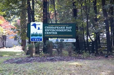
This traditional hide is located along the Chesapeake Bay Environmental Center (CBEC) trails. The center is open 9-5 everyday except major holidays. There is a $5 entrance fee.
The CBEC offers 4 miles of hiking trails for walkers, joggers, bikers and nature enthusiasts. For your convenience, CBEC offers our new and updated trail map in our visitors’ center. Special note: Dogs are not allowed.
The calm scenes that now greet hikers walking through the woods and along the marshes of the Chesapeake Bay Environmental Center in Grasonville, Maryland, are quite different from the sights and sounds of summer 1813. In the spring of that year, nearby Kent Island, located across the Kent Narrows, was easily seized by a force of 2,000 British troops, who then used the site as a temporary base for operations on the Upper Bay. Suffering from scurvy and other ailments, the troops were glad to take possession of the vegetables, fruits and livestock of local residents. In addition to serving as a jumping off point for the British, Kent Island also became a gathering place for hundreds of men, women and children escaping lives of slavery in Maryland. As described by historian Frank A. Cassell in his article “Slaves of the Chesapeake Bay Area and the War of 1812,” The National Intelligencer, a newspaper in Washington, D.C., reported that some of those who escaped and came to Kent Island then served as scouts and guides for the British forces. Indeed, this happened frequently throughout the conflict, with enslaved people seeking freedom through service with the British.
On the morning of August 13, 1813, a British force of some 1,500 men sought to launch a surprise attack on American militia stationed at Queenstown, just up the Chester River from Kent Narrows and Grasonville. Approaching in darkness, the Redcoats hoped to meet up with a detachment of 45 barges, also moving in the direction of the town. Luck was not on the side of the British that day though, as the ships became lost on route. In addition, an American scouting party caught sight of the advancing troops and opened fire, inducing panic among the British, and thwarting their plans for attack. Known as the Battle of Slippery Hill, the engagement allowed the local militia to escape to Centreville where reinforcements awaited.
The Chesapeake Bay Environmental Center (formerly Horsehead Wetland Center) is a 500 acre preserve and educational site located 15 minutes from the Chesapeake Bay Bridge across Kent Narrows. It provides year-round opportunities to observe and enjoy a variety of wildlife as well as learn about new and innovative conservation strategies. The trails include concealed blinds, towers, and a boardwalk giving visitors close-up views of a wetland environment.

Thanks to Tonylama & Mother Wolf for helping with this hide, and to the Maryland Geocaching Society for assisting with this project!