Jeweils ein
Kartenausschnitt und ein Foto gehören zu einer der 10 Stationen.
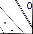
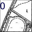
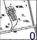
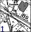
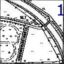
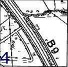
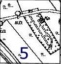
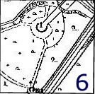
Die Kartenausschnitte sind der topographischen Karte 1 : 5000
entnommen; jeder Ausschnitt zeigt ein Gebiet von ungefähr 150 mal
150m.
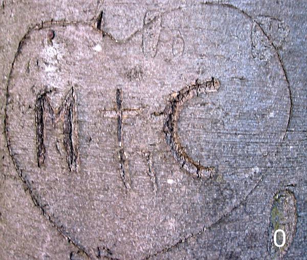
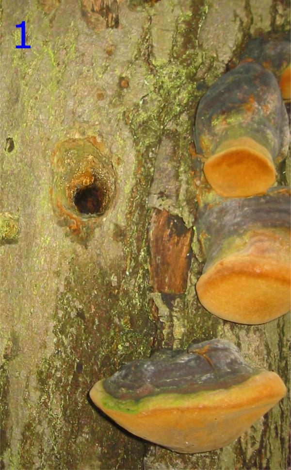
Zählt die
Zahlen zusammen, die auf dem Kartenausschnitt und dem Foto einer
Station zu sehen sind. Die Koordinaten der Stationen findet ihr
unten bei den Waypoints. Station A ist an den oben angegebenen
Koordinaten.


Die
Finalformel sieht dann so aus:
N 51°
A(H-G).CB(A+F+J) E
006° FJ.D(E-A-G-I)G
Viel Spaß und
Erfolg!
Wasserfrau
English:
Cartography
This
multi will take you on a tour of nearly 7 km length through
Vorselaer.
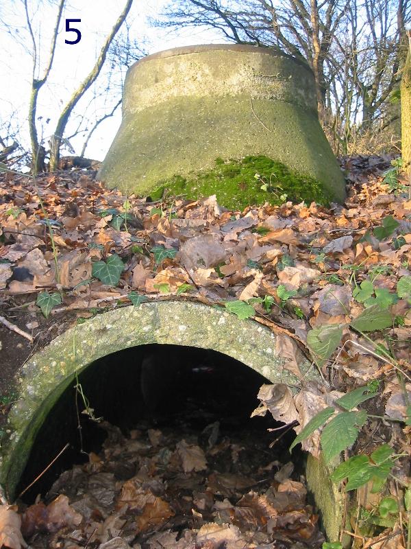
At
the 10 stages you will have to find out numbers that are given by a
map detail and a photo both refering to the
stage.
The
map details are taken from a topographical map 1 : 5000 and show an
area of about 150 by 150m each.
Add
the two numbers on the map detail and the photo.
You
will find the final at
N 51°
A(H-G).CB(A+F+J) E
006° FJ.D(E-A-G-I)G
Have fun and
success!
Wasserfrau