The only way to observe this EC is to either launch a kayak or canoe, or any other floating conveyance at the Mammoth cave ferry ramp and paddle down river about 4 miles, or launch at Houchen’s ferry and paddle up river about 8 miles. It is completely up to you. The trip is a fairly easy paddle either way. There is only one small riffle just above the site. There are several great island camping sites on this trip and several geological wonders also! Be careful at the Ferry ramp and wait for the ferry operator’s signal before launching.
Do not approach this EC from the parking lot off highway 70 you would have to go off trail to get to this EC and that is not permitted in the National Park. If I see you did this cache by any other means other than water I will delete your find.

Blue Hole
A blue hole is a submarine cave or sinkhole. They are also called vertical caves. Blue holes are roughly circular, steep-walled depressions, and so named for the dramatic contrast between the dark blue, deep waters of their depths and the lighter blue of the shallows around them. Their water circulation is poor, and they are commonly anoxic below a certain depth; this environment is unfavorable for most sea life, but nonetheless can support large numbers of bacteria. Blue holes formed during past ice ages, when sea level was as much as 100–120 meters (330–390 ft) lower than at present. At those times, these formations were subjected to the same chemical weathering common in all limestone-rich terrains; this ended once they were submerged at the end of the ice age. Blue holes are typically found on shallow carbonate platforms, exemplified by the Bahamas Banks, as well as on and around the Yucatán Peninsula, such as at the Great Blue Hole at Lighthouse Reef Atoll, Belize. The deepest blue hole in the world is Dean's Blue Hole at 202 meters (663 ft). The next deepest holes are only around 100–120 meters (330–390 ft).
At this location
The blue hole at this location is some of the newest cave formations in the park, water inters the cave system through sink holes that dot the land high above the river valley and carves through the cave until the water exits far below the surface of Green River forming this Blue Hole. In the future the river will cut deeper into the limestone valley and will eventually drop below the opening of this blue hole opening up a cave. This blue hole is so large it can be seen bulging out of the South end of Turn Hole Bend on Google maps satellite view.
The Blue Hole found at the coordinates listed above is not unlike the general definition given at the top of this page. It is a beautiful, yet spooky site to behold. The depth of this hole of water is not given anywhere and legend has it that it has no bottom. This natural feature is well worth the short paddle down the Green river to view it’s beauty!
To log this EC as a find you e-mail me the answers to the following questions:
1. What is the highest number on the water gauge on the West corner of the blue hole?
2. What caused this Blue Hole?
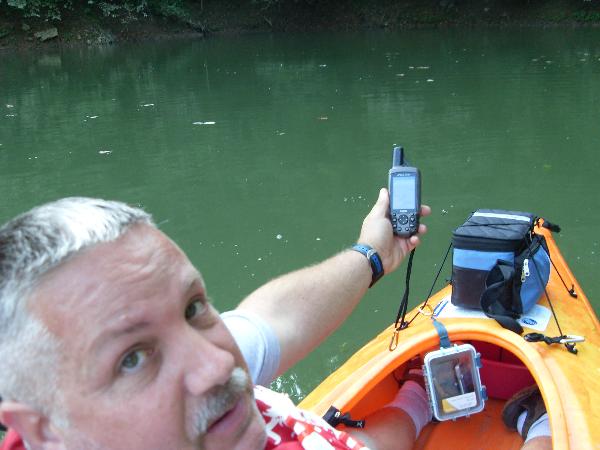
Optional: Take a picture of you and your GPSr at the location.
If you enjoyed this Earthcache and would like to know about others, check out the below website.
EarthcacheListing