Farrenpoint (1273
m)
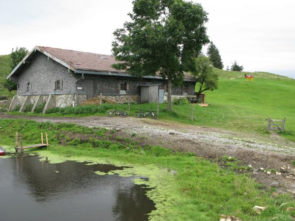
Von Kutterling
aus geht es über über zum Teil
recht steile Forstwege in ca. 2 Stunden auf die Farrenpoint. Via
Kutterling it'll take about two hours to the summit ( trail is
partly pritty steep)
Für Mountainbiker:
diese Tour ist
ein leicht zu unterschätzender Geheimtipp für einen wirklich
knusprigen Uphill.
(nichts für nicht wirklich durchtrainierte) For Mountainbikers in
good shape this is a crispy uphill workout ( don'nt try this unless
you are realy fit)
Von der Huberalm geht es auf den Gipfel
der Farrenpoint.
Der Cache liegt
Luftlinie ca. 80 m
Südwestlich des Gipfels The cache is hidden about 80 m SW of the
summit