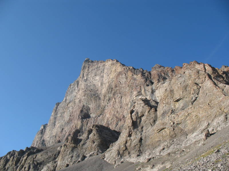
Tornado Mountain as seen from the Sugarloaf Fire Lookout.

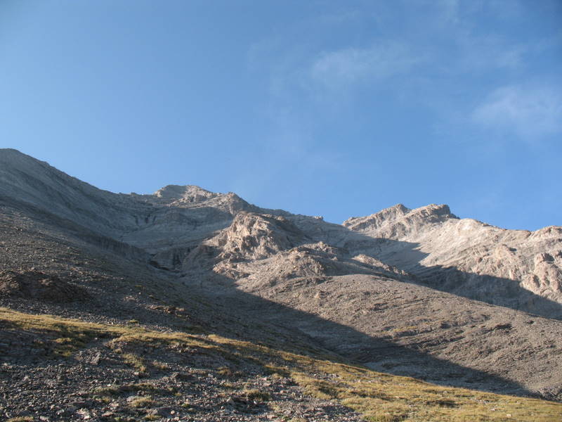
Tornado Mountain as seen from the west approach to the col.
The Tornado Mountain Summit is a larger PVC container with the usual, logbook, pencils, few trade items, and an initial traveller. The cache was placed during a trip to the nearby Brass Cap Cache - BCP440 - Tornado Mountain.
Getting to the cache involves a long approach of at least 10 - 12 kilometres from the trailhead to the Tornado Mountain Col , followed by a difficult, steep scramble to the summit (over 650 metres of elevation gain in less than 1 kilometre from the Col).
Do not attempt this cache if you haven't completed several challenging scrambles in the Rockies. There are a number of spots on the way up that could present significant difficulty - please use caution at all times.
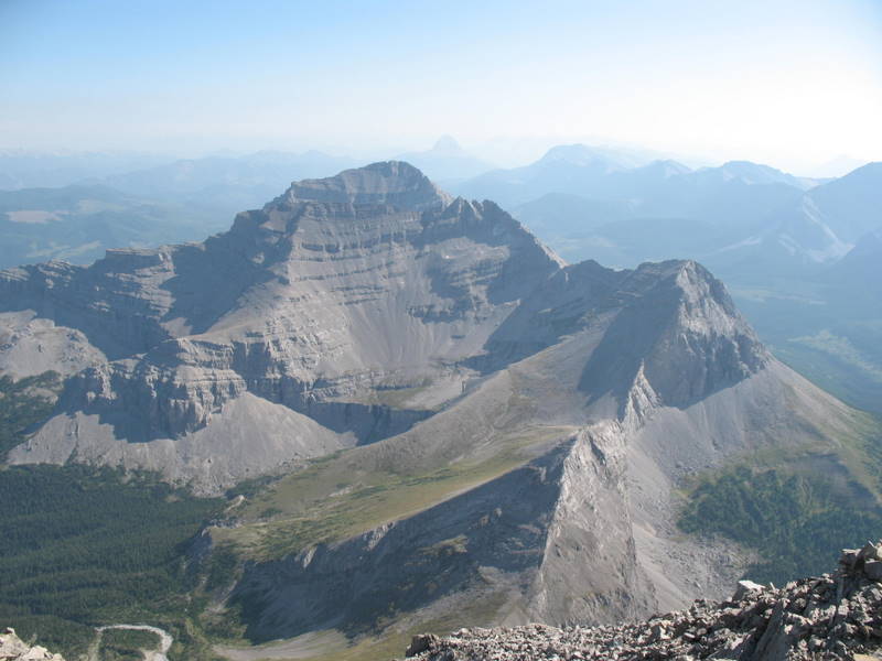
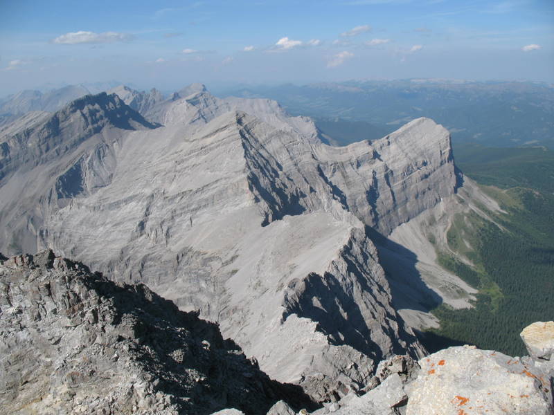
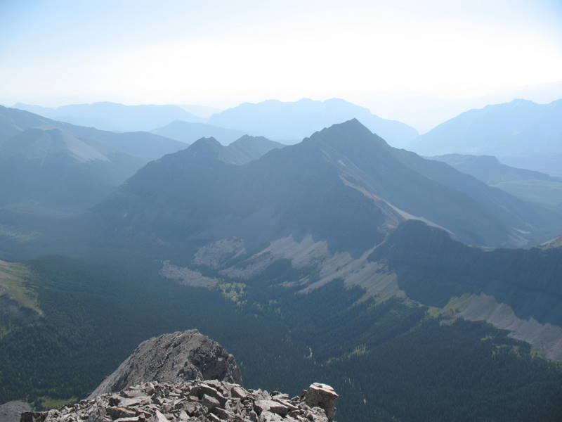
Be sure to bring the camera along to capture pictures of the terrific scenery.

Be sure to check out the many other fine cache sites on the trail to Tornado Mountain. It might be a good idea to make the trip an over-night backpack or perhaps take advantage of the open camping allowed in the vicinity of the trailhead.
A few other shots from the area.

If you're planning a trip to Tornado Mountain, the number of caches along the trail offer the opportunity to bag a few caches without having to go all the way to the top. Be sure to bring all of the backcountry hiking supplies, and especially lots of water, food, and bear spray.
Note: September 1st, 2009
As it turns out the south access to the Tornado Mountain Col is via the Great Divide Trail (GDT). With a good 4WD or ATV the GDT is driveable up to approximately 5 - 6 kilometres from Tornado Pass. The resulting hike from vehicle parking would look something like this:
1. Parking to Tornado Pass - 5 -6 km;
2. Tornado Pass to Tornado Col 1.5 - 2.0 km and 350 metres of elevation;
3. Tornado Col to Tornado Summit < 1 km. and 650 metres of elevation.
There is a shortcut available back to the GDT available by taking the scree run from the Tornado Col west and taking the second most southerly meadow to the treeline and finding the former trail through the forest back to the Rock Garden stop along the GDT - this shortcut saves in the order of 3 - 5 km.