(English description can be found below.)
DEUTSCHE BESCHREIBUNG
Idar-Oberstein ist weltbekannt für seine Edelsteinminen und Edelstein-Verarbeitungsbetriebe. Dort kann man auch das einzige Edelstein-Schaubergwerk überhaupt finden, das im Rahmen von Führungen für touristische Besucher zu betreten ist. Die Führung dauert etwa eine Stunde und der freigegebene Stollen ist etwa 400 Meter lang. Auf dem Weg zu dieser Mine findet man ein kleines geologisches „Freiluftmuseum“, einen Wanderpfad, auf dem man verschiedenen Gesteinen begegnet, die auf Plaketten genauer beschrieben sind.
Die Edelsteinarten, die in Idar-Oberstein geborgen werden können, sind hauptsächlich Jaspis, Achat und Bergkristall. Sie sind durch Vulkanismus entstanden. Sieben Lavadecken befinden sich im Grund unter Idar-Oberstein, zwischen dem Unter- und dem Ober-Rotliegenden, mit einer Dicke von insgesamt etwa 900 Metern.
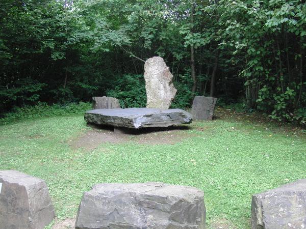
Um diesen Earthcache zu loggen, müsst ihr ein Foto an folgender Fotostelle machen:
N 49° 43.633 E 007° 16.580
Die Lösungen bitte über mein Profil an mich schicken und loggen. Ich überprüfe die Antworten dazu und melde mich ggf. wenn was falsch war bei euch!
1. In den Edelsteinminen in Idar-Oberstein findet man viele Drusen. Was sind Drusen?
2. Aus welcher Zeit stammt der Kuselit, der auf dem Weg zur Höhle zu finden ist? (Siehe Schild vor dem Gestein)
3. Welche Farbe hat das Schild links von der Fotostelle (wenn man in Richtung der Stelle blickt).
4. Welche Nummer hat das Schild vom Dacit auf dem Weg zur Höhle?
Viel Erfolg!
ENGLISH DESCRIPTION
The German village Idar-Oberstein is famous all over the world for its gemstone mines and jewelry industry. It’s also the location of the only gemstone mine which can be visited by tourists in guided tours. The tours take about an hour and the accessible part of the mine is about 400 meters long. When you visit that accessible gemstone mine, you will have to pass by an open air “museum” showing different types of rocks. There, information about different rocks and geological formations are given on small metal plates.
The types of gemstones which are most often found in Idar-Oberstein, are Jasper, Agate and Rock Crystal. They are products of vulcanism. 7 layers of lava, measuring 900 meters in total, can be found beneath the town, between the upper and the lower "Rotliegend", which is a early Permian lithostratigraphic unit typical for Western and central Europe.
To log this Earth Cache, you have to take a photo at
N 49° 43.633 E 007° 16.580
To log this earth cache, you have to answer the following questions. Please send the solutions to me through my profile page and log the Cache. I have checked your answers and contakt you is anything wrong!
1. The gemstone mines in Idar-Oberstein are famous for the geodes which can be found there. What are geodes?
2. There is a rock on the path named “Kuselit” (“Kuselite”, old name of Latite). What geologic period is it from, according to the plate in front of the rock?
3. What’s the color of the sign on the left side of the photo site? (on the left, when you face the photo site)
4. What’s the number of the sign in front of the “Dacit” (Dacite)?
Good luck!