
[PT] Na coordenada inicial ainda podemos ver as travessas da linha
do comboio. Era neste terreno que se localizava a estação de
comboio de Oliveira de Frades. Mas, onde está ela
actualmente?
Conte o número de andares do prédio amarelo-torrado (excluindo o
rés-do-chão e o sótão) = A.
Virado para a Rua da Estação, siga para a esquerda. Poucos metros
depois vai encontrar um cruzamento com a Rua Dr. Lino dos Santos.
Existia aqui uma passagem de nível, sendo a Rua Dr. Lino dos Santos
a estrada que dava acesso à Vila vindo de Campia, antes de
existirem a Avenida Dr. Arménio Maia (avenida nova por onde se
entrada actualmente em Oliveira de Frades). A linha de comboio
passava por trás de uma vivenda bastante antiga mais abaixo desta
rua, e que está virada para um pelourinho. Em tempos antigos, esta
seria uma vivenda de uma de muitas quintas existentes à volta da
vila, conseguindo sobreviver as mudanças que foi acontecendo à sua
volta. O pelourinho estava então mais próximo desta vivenda, tendo
sido deslocado para dar lugar a rotunda e à avenida.
Vá até ao pelourinho e tire o último dígito a data (data com
dois digitosdo meio iguais) = B
Conte o número de ruas no sentido anti-horário igual à letra
A e siga por essa rua. Vai encontrar talvez os edifícios
mais antigos de Oliveira de Frades. No fim da rua à esquerda está a
Igreja Matriz. O comboio não vinha por aqui, mas sim a estrada que
atravessava a vila. Conte o número de ruas no sentido anti-horário
igual à letra B, e siga por ai.
Está na Praça do Museu Municipal. Pode parecer que não, mas em
tempo a estrada principal continuava por aqui. Uma das provas é um
marco típico de marcação da estrada, aqueles que contam cada 100
metros. Tente procura-lo e registe o seu número (=
C).
Volte atrás e vá em direcção à Igreja Matriz e procure a porta
principal. Estando no meio do adro com a porta da Igreja à sua
esquerda, vai ver o objectivo final à sua frente, a recolocada
estação de comboio. Não é a posição inicial dela, isso já sabem,
mas o comboio passava do outro lado do edifício. Mais acima da rua
está uma pequena ponte por baixo da qual ele passava.
Vamos à cache:
N 40º 43.(A+C)0(A)
W 8º 10.(C)(B)(A)
Boa Visita.
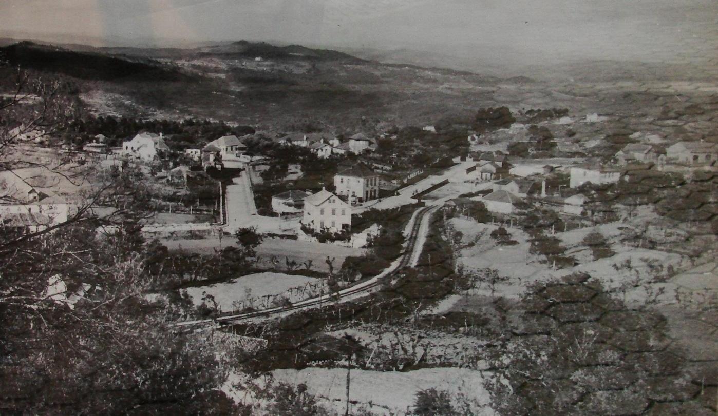
[ENG] In the published coordinates you can find
the old sleepers of the railway. It was in this terrain that
Olivera de Frades train station was located. But, where is it
today?
Count the number of floors of the
brownish-yellow building (not including the ground floor and
the attic) = A.
Turned to Rua da Estação, go to the left. A few
meters away you’ll find a cross road with Rua Dr. Lino dos
Santos. There was a railway crossing, been Rua Dr. Lino dos
Santos the access road to the village from Campia and
Caramulo, before Avenida Dr. Arménio Maia was built (new
avenue that is in nowadays the entrance to Oliveira de
Frades). The railway passed behind a very old cottage in the
end of this road, the one that is turned to the pillory. In
the old days, this was one of the many cottages of the farms
that were around the village, and it survived all the changes
that occurred around to nowadays. The pillory was near to the
cottage, having been moved away to give space to the
roundabout of the main avenue.
Go to the pillory and take the last digit of the
date (data with the igual midle digits) = B
Count the number of streets anti-clockwise equal
to A and follow that street. You are going to find maybe the
oldest building in Oliveira de Frades. On the end of the
street to your left is the mother-church. The train didn’t
pass here, but the road that crossed the village. Count the
number of streets anti-clockwise equal to B and go thought
there.
You are in the Municipal Museum square. It may
not look like it but here passed the main road that crossed
the village. One of the evidence is a typical road mark that
masks every 100 meters.
Try to find it and take this number (=C).
Go back to the mother-church and look for the
main entrance. In the middle of the churchyard, with the main
entrance to your left, you’ll see the final objective, the
repositioned train station. It’s not the initial position, as
you know, but the trains passed on the other site of the
building. Up the street is a small bridge thought where it
passed.
Lets of find the cache:
N 40º 43.(A+C)0(A)
W 8º 10.(C)(B)(A)
Have a good visit.