Mathekenyane is located on the H1-1 route south of Skukuza near the De Laporte Waterhole. It is also known as Hill 385.
Firstly, a definition of a “Kop”. It is also known as a monadnock or inselberg, which is an isolated rock hill, knob, ridge, or small mountain that rises abruptly from a gently sloping or virtually level surrounding plain. The term "monadnock" is usually used in the United States, whereas "inselberg" is the more common international term. In southern and southern-central Africa, a similar formation of granite is known as a kopje (in fact a Dutch word) or from the Afrikaans word: koppie.
Volcanic or other processes may give rise to a body of rock resistant to erosion, inside a body of softer rock such as limestone which is more susceptible to erosion. When the less resistant rock is eroded away to form a plain, the more resistant rock is left behind as an isolated mountain. The strength of the uneroded rock is often attributed to the tightness of its jointing. One of the most famous such examples is the Sugarloaf in Rio de Janeiro.
The presence of a monadnock, inselberg or koppie typically indicates the existence of a nearby plateau or highland, or their remnants. This is especially the case for inselbergs composed of sedimentary rock, which will display the same stratigraphic units as this nearby plateau.
These koppies (outcrops) represent some of the most prominent of a number of Archaean granite tors (also commonly called “castle koppies”) developed in the eastern parts of the ±3000 million year old granite domes that can be seen at many points in the Kruger National Park. This dome stretches throughout the central part of the Park [from south west of Skukuza in the Pretoriouskop region] with this area being towards the northern limit of the dome. The tors in this part vary in both composition and texture. But generally consist of medium to coarse grained homogenous granodiorites and adamellites, as well as banded gneisses and migmatites. In some of the tors the granitic rocks contain large feldspar crystals (this is clearly visible in some of the rocks scattered around the park near the co ords) in a finer grained matrix – these are reffered to as porphyritic granites. Tors similar to Orpen Rocks are extensively developed in the Archaean granites of Zimbabwe [think of the balancing rocks of the Matopos where Cecil John Rhodes is buried and other outcrops around Bulawayo and Harare], other parts of Mpumalanga and Swaziland – of which the Orpen Rocks are part of; and formed mainly by differential weathering of the faulted, fractured and jointed granites.
Remember that it is neither SAFE nor LEGAL to get out of your vehicle at any point in the Park unless specifically authorized to do so.
In order to qualify to log this cache, you need to answer the following questions and e-mail the cache owner at cincolcc(at)gmail.com Any logs not accompanied by an e-mail will be deleted.
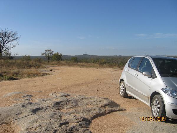
1) Post an optional photograph of yourself with your log – with GPSr – at the signboard that you will find at the top of the koppie to verify you were there. [Near to where the car is parked in the photograph above]
2) Look at the exposed granite. Describe how the granite has weathered over the years.
3) What are scree slopes and how are they formed?

Klipspringers near the EarthCache location
FTF goes to - ddpisani