Although near 'civilization', the search for this cache
constitutes a potentially hazardous journey. Please prepare for the
inevitable. Be sure your affairs are in order.
Background Information - The Portolá Expedition 1769
Led by Captain Gaspar de Portolá, the expedition became confused by
the topography around the Monterey Peninsula and continued
northward along the coast, looking for the right combination of
harbor and pine trees coming "down to the sea itself." Recognizing
neither, they continued northward.
Marching along a mesa approximately three miles wide, they
encountered a "toilsome” landscape. We traveled three hours and a
half but only made two leagues during which we descended and
ascended four deep watercourses carrying running water which
empties into the sea. Only in the watercourses are any trees to be
seen; elsewhere we saw nothing but grass, and that was burned."
Since they were looking for a shoreline pine forest and expecting
to see many Native Americans as Vizcaíno had, the empty bare hills
in the east were very disappointing.
But it was the rugged terrace and the seemingly unending
sequence of arroyos that made the Spaniards most disconsolate.
Father Crespí, the Church's representative on this journey, noted
that "this march was very troublesome, on account of the frequent
gulches along the way, for we crossed seven, and they caused a
great deal of work in making them passable." Their mules slipping
and falling in the steep-sided arroyos, the Spaniards struggled
ever northward along the terrace, finally camping at the mouth of
the creek.
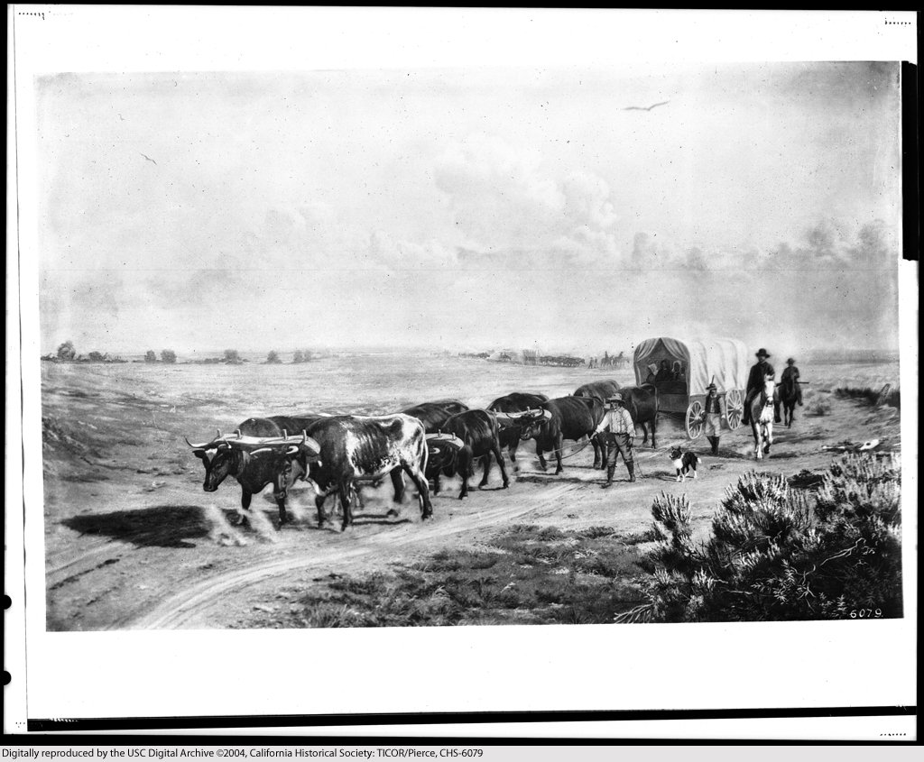
The Last Spanish Passage Along the North Coast - The Rivera
Expedition 1774
The Spaniards made the journey from Monterey to San Francisco
Bay several times, but their memory of the difficulty of traveling
along the coastal terrace encouraged them to follow the route
through the more level inland valleys, along the route of present
day Highway 101. Over the intervening five years their North Coast
stream crossings washed out and vegetation grew up to obscure the
trail.
The 1774 trip decided the matter. The North Coast was not to be
the route when going from Monterey to San Francisco, and in 1775
Spanish Lieutenant Pedro Fages officially recognized the inland
passage from Monterey to Mission Santa Clara and San Francisco. He
called it a "short cut" that "traverses more passable and saves a
matter of ten leagues of distance."
The die was cast. The primary Spanish north-south route through
Central California (later called the El Camino Real) did not come
along the "tiresome" North Coast. The land that came to be known as
Santa Cruz County's North Coast and ultimately the Coast Dairies
Property remained isolated, rugged and forbidding.
Your Quest

To seek this cache is to know a moment of the experiences of
those early travelers. You will feel the rugged land and cross the
"toilsome" landscape as did the early travelers. Now, as then,
there are hazards and perhaps danger that await the traveler. Be
prepared to deal with thorns, noxious plants, ticks, rugged terrain
and more. This journey is the epitome of hardship. Do not attempt
to seek this cache without accepting these parameters. Complaints
about your journey to this cache or any of its parameters shall be
forwarded in triplicate and addressed to the el Jim Corporate
Complaint Department (EJCCD) c/o
roundfile@trash.can - All the
best.
CONGRATULATIONS!!! KCSearcher - FTF!