Lambhill, Bride
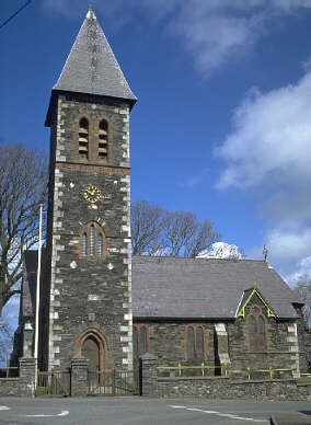
Bride (Manx: Bride), named after St Bridget, is a parish in the
Sheading of Ayre and lies in the extreme north of the Isle of Man.
The parish lies to the east of Andreas and to the north of
Lezayre,bordering the sea to the north and east. The parish covers
an area of about 9 sq miles and contains the village of Bride or
Kirk Bride. The population, according to the 2006 census, is 418
(2001 - 408). There is a range of sandhills crossing the parish
from west to Point Cranstal (not actually a point) in the east,
from which a good view may be obtained of the Manx mountains as
well as of the Scottish and Cumbrian mountains (with the Solway
Firth in between). The Galloway coast is about 18 miles away. At
the Point of Ayre is a 100 foot lighthouse. On old maps Point
Cranstal is referred to as "Shellag Point" and a hamlet named
Cranstal is marked close to it, but has long since disappeared.
The cache is located on a lane in the
village, signposted 'Lambhill', and should be a relatively
straightforward find. It is not surprising why the area has this
name! The lane is essentially single track and the only suitable
parking is at the waypoint identified below. The cache originally
contained a log book, pencil, ftf badge, geocoin and small
swaps.