 Goonook Nature Reserve (930 ha) is one of four areas preserved in the Lansdowne area by the Forestry and National Park Estate Act 1998. The region consists of dissected sedimentary layers with a steep escarpment; and the nature reserve has a moderate thrust fault line running through it. With a relatively dependable and moderately high rainfall there is a diverse habitat for flora and fauna.
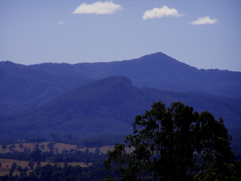
Steep and rugged, Mount Goonook (436m) is actually just outside the nature reserve, and privately owned. (Permission is required to approach from the North through the Anderson Voluntary Conservation Area. Contact NPWS at Taree (02) 65524097 for permission.) OR, rather, approach from the South East off Taylor Road. Park at S31° 43.488' E152° 25.232'; this is a good waypoint to navigate to. Then head north UP to the cliff line, and skirt to the west and north. Bring insect repellent for ticks and leeches.
* * A neighbour to the SW of Goonook urges caution in the summer months due to death adders seen in the area. * *
(Hopefully "Doctor, Doctor #2" will be up and running before Christmas, and you will be welcome to get a free snakebite kit from there.)
I suggest using the Bobin 1:25,000 topographic map to help plan and navigate to the cache, as many of the forest trails aren't shown on electronic mapping. The grid reference for parking being: GR456897, and the cache: GR446903 (Aus Geo 66).