The earthcache is located on the grounds of the Tidbinbilla Nature Reserve. Permission has been received for this earthcache from the Reserve.
Please note that the opening hours of the Reserve are 9am-6pm during Eastern Standard Time, and 9am - 8pm during Daylight Savings Time. You cannot enter the reserve outside of these hours.
During the Ordovician period of between 500 and 440 million years ago, the Tidbinbilla Valley, like most of the eastern half of Australia lay deep at the bottom of an ocean. Layers of mud, rock and silt built up sedimentary rocks, which dominate most of the current landscape.
Over time these layers were lifted, and by the Silurian period (440 to 400 million years ago) formed the foundation of a shallow seabed. The layers that formed during this period consisted of sandstone, breccia and small amounts of limestone and shale.
Eventually, the land was forced above sea level - most likely by the force of the magma below the earth's crust.
In some places, molten magma forced its way into cracks that appears within the sedimentary rocks to form granite. The granite that formed in this region is part of the Murrumbidgee Batholith. As the granite cooled and cracked, intrusions of quartz and aplite appeared.
Over several millions of years, erosion slowly wore down the sedimentary layers formed during the Silurian and Ordovician periods to reveal the harder granite intrusions peaking up above the surface.
Eventually these intrusions have also eroded, forming rounded peaks, known as tors, which stand on the top of many hills in the Tidbinbilla region.
The granite tors that form Gibraltar rocks are constantly being shaped by rain, wind, frost and fire. After the 2003 bushfire, some of these granite boulders shed layers, like skin coming off an onion.
Intense heat from the fires expanded the rocks. But as they cooled, the outer layers contracted faster than the middle, resulting in cracks and later shedding of layers.
The coordinates will take you to the steps at the base of this granite tor.
To claim this EarthCache you will need to send us a message with the answers to the following questions:
- Look closely at a piece of freshly broken granite from a bolder and tell me the three (3) colours you can see, and what minerals each one is (message us the answer, don't include it here)?
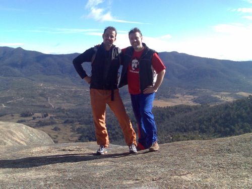
- Take a photograph of your group at the location and include with your post.
You can log your visit along with your find immediately, however, you must send us a message with the answers to the questions above and include your photo with your log. Failure to comply with these instructions will result in your log being deleted.
Your log should indicate how many people were in your party and any additional information or experiences you gained from this Earthcache.