Vrásový soubor u Klokocuvku
Tato prírodní památka je charakteristickou ukázkou vrásové stavby kulmských hornin v oblasti Nízkého Jeseníku. Z hornin souvrství prevažují droby, v menší míre zde najdeme siltovce a jílovité bridlice. Celé souvrství je postiženo vrásovými deformacemi nekolika rádu. Základním prvkem jsou rozsáhlé prekocené vrásy s výrazným východním nachýlením. Na odkryvech je možno sledovat soubory s ruznými druhy vrás v rozmerech decimetru až metru. Intenzita deformací se v celém souboru velmi liší. V západní cásti jsou vrstvy více než metr vysoké a uložené témer horizontálne. Smerem k východu se provrásnení stává detailnejším a v samotném stredu lze hovorit o disharmonických vrásách. Ve východní cásti se intenzita deformací opet zklidnuje. V jednom z ohybu se dokonce vytvorila malá jeskyne. Celý skalní odkryv má délku zhruba 200 metru, cást je však zanešena náletovými drevinami.
Fold set near Klokocuvek
This natural reserve is a typical example of Culm rock folding in the area of Nizky Jesenik mountain range. The set consists mainly of greywacke but you can find siltite and clay shale here as well. The whole formation is affected by several folding deformations. The basic feature is large reversed folds with dominant east vergency. Different kinds of folds are visible on the exposure. Their size spans from decimeters to meters. Deformation intensity varies a lot within the formation. In the west part the layers are more than one meter high and almost horizontal. Towards the east the folding is more detailed and in the very centre we can even see disharmonic folds. In the east part the deformation intesity lowers again. In one of the bends you can find a small cave. The whole rock exposure measures almost 200 meters, although some parts are covered with trees.
Otázky k uznání earthcache:
 1. Vyjmenujte aspon tri druhy vrás. Všechny druhy naleznete i zde.
2. Zmerte výšku vchodu jeskyne.
3. Zjistete, kdy byla prírodní památka vyhlášena.
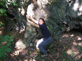
4. Vyfotte se pred vrásou ve smeru vrás. (viz foto)
Questions to claim this earthcache:
1. Name at least three kinds of folds. All kinds can be found here, too.
2. Measure the height of the cave entrance.
3. Find out when this nature preserve was established. (the first date on the information board)
4. Take a photo of yourself in front of the set in a shape of a fold. (see photo)