Pekelské rybníky
Keš Pekelské rybníky se nachází blízko mesta Trutnova v
rekreacní oblasti nazývané V Peklích. Oblast tvorí hluboké
zalesnené údolí Pilníkovského potoka ve smeru od Horního starého
mesta k obci Vlcice. Nachází se zde ctyri rybníky, které s nejvetší
pravdepodobností nemají jména ( pokud nekdo víte neco jiného,
prosím opravte nás ) a oznacují se jako Peklo 1,2,3,4, císlováno po
proudu potoka. Peklo 1 je vhodný pro rekreaci, Peklo 2 a 3 jsou
chovné, Peklo 4 je pro rybolov. Multina se skládá ze 4 stanoviští,
celá trasa je dlouhá cca 2km. Je to lehká trasa vhodná i pro
cykloturisty, kterou lze spojit s keší Hrádecek.
Zaparkovat lze:
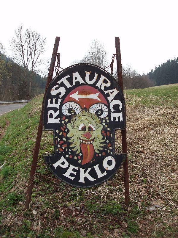
1) Na parkovišti u restaurace Peklo ( N 50°35.038, E 15°51.157 ).
Je to nejdále od stanovište 1, ale nejblíže k finální keši.
2) Na bezejmenném míste pro jedno auto za dobrého pocasí ( N
50°34.632, E 15°50.095 ). Je to nejblíže ke stanovišti 1, ale
nejdále od finálky. Prosím, neblokujte príjezdovou cestu k chatám u
lesa.
Stanovište 1 najdete poblíž rybníka Peklo 4 na
N 50°34.730, E 15°50.211. Zde si opište císlo rybárského revíru z
tabulky ve formátu ABCDEF.
Stanovište 2 je na N 50°34.(2*A)(A/2)C, E
15°50.AFC. Zde si opište letopocet dokoncení výstavby betonového
prepadu jako GHHI a spocítejte pocet kulatých sloupku zeleného
zábradlí jako J. Spoctete si GHHI / J = KHL pro další
souradnice.
Stanovšte 3 je na N 50°34.H(L/2)(H/3), E
15°50.(L-G)(H-K)(H/3). Zde si sectete pocet písmen každého slova na
varovné tabulce MNOPP.
Finálka je ukryta na N 50°34.(P+N/2)OI, E 15°
50.(P+N/2)(N/2)M.
Pro první 3 nálezce jsou v keši pripraveny pametní karticky s
pekelníkem.
Hell ponds
Cache Hell ponds is situated near the town Trutnov in the
recreation area called "V Peklích" ( In the hell ). The area is
deep forest valley of the Pilníkov brooke in direction from Horní
staré mesto ( Upper old town ) to the village Vlcice. There are
four ponds, which have no name and are called Peklo ( Hell )
1,2,3,4, numbered by flush of the stream. Peklo 1 is suitable for
recreation, Peklo 2 and 3 are for fish breeding, Peklo 4 is for
fishing. Multicache consists 4 stages, the whole route is appr. 2km
long. It is an easy route suitable for bikers, which can be joint
with cache Hrádecek.
Where can I park my car?
1) At the parking place near restaurant Peklo ( N 50°35.038, E
15°51.157 ). It is farthest from stage 1, but nearest to the final
cache.
2) At the unnamed parking place for one car only at good weather (
N 50°34.632, E 15°50.095 ). It is near to stage 1, but far from the
final stage. Please, do not block the driveway for the bungalows
near the forrest.
Stage 1 is situated near the pond Peklo 4 at N
50°34.730, E 15°50.211. Here you write down the number of fishing
area from the table ( Rybárský revír ) in the formate ABCDEF.
Stage 2 is situated at N 50°34.(2*A)(A/2)C, E
15°50.AFC. Here write down the year of finalization of the building
concrete spillway as GHHI and count the round spiles in the green
handrail as J. Count GHHI / J = KHL for the next coordinates.
Stage 3 is at N 50°34.H(L/2)(H/3), E
15°50.(L-G)(H-K)(H/3). Here count number of letters in each word on
the cautionary table as MNOPP.
Final cache is situated at N 50°34.(P+N/2)OI, E
15° 50.(P+N/2)(N/2)M.
There are three cards with The Infernal in the cache for the
first three finders.
