Pipeway Traditional Cache
-
Difficulty:
-

-
Terrain:
-

Size:  (regular)
Please note Use of geocaching.com services is subject to the terms and conditions
in our disclaimer.
Une autre petite cache martégale typique, avec une belle vue sur
la ville.
An other cache near Martigues, with a very nice view on the
city.

[FRANCAIS]
DESCRIPTIF :
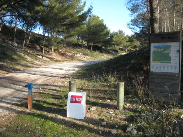
Cette fois, on ne vous emmène pas à un point de vue sur les usines
(Cf. GEOCACHE "LAVERA POINT" - GC18DHE), mais sur l'un des
multiples chemins de pipelines qui relient un grand nombre d'usines
du pourtour de l'étang de Berre - et bien au delà. Il vous suffit
de regarder toutes les petites bornes qui vous entourent en chemin
vers la cache pour suivre leurs parcours.
Dans le même temps, vous profiterez d'une belle vue dégagée sur
Martigues, ses trois clochers (Ferrières au Nord, L'île, Jonquières
au Sud) et bien entendu, l'étang de Berre. Vous ne manquerez pas le
Viaduc de l'autoroute A55 qui domine la ville et vous verrez
peut-être le pont levant ouvert, qui laissera passer un tanker ou
un voilier. Les couleurs du centre-ville historique en fin de
journée sont très belles.
ACCES EN VOITURE :
En venant vers Martigues depuis le Sud par la D49, continuez tout
droit sur la D5 direction Martigues. Vous dépassez une chatterie
sur votre gauche, puis une villa sur votre droite (un peu cachée
dans les pins). Le parking est sur votre droite (coordonnées GPS
ci-dessous).
NB : Si vous arrivez au circuit de Karting, vous l'avez
dépassé.
D'autres accès sont possibles par les sentiers de randonnées
environnants (attention, l'accès à ces chemins est interdit en cas
de risque de feux de forêts, notamment l'été, RENSEIGNEZ VOUS
AVANT).
IN :
Initialement, la cache contient :
- un geocoin Vogtland
- un jeton de caddie UNICEF en porte-clef
- un stylo bic avec une lumière rouge
- un logbook et un stylo
[ENGLISH]
DESCRIPTION:
This time, you won't see any factory (see GEOCACHE "LAVERA POINT" -
GC18DHE), but rather one of the numerous pipeline way linking the
factories around "l'étang de Berre" - and far beyond. You just have
to look at the small landmark on the way to the cache to follow
their way.
At the arriving, you will profit from a nice clear view on
Martigues, its three bell towers (Ferrières on the north, L'île and
Jonquières on the south), and obviously "l'étang de Berre". Don't
miss the viaduct of the A55 highway dominating the city. By chance
you can watch the rising bridge opened, and maybe a tanker or a
sailing boat passing through. The colors of the old town centre at
the end of the day are very pleasant.
ACCESS BY CAR:
Coming from the south of Martigues by the D49, keep straight on the
D5 (direction Martigues). You will pass a cat breeding on your
left, and then a house (slightly hidden by pine trees) on your
right. Parking is on your right (GPS coordinates below)
NB: If you arrive at the karting circuit, you missed the
parking.
Others access are possible by the walking tracks around (beware,
acess to those tracks is forbidden during some periods, especially
the summer. MAKE INQUIRIES ABOUT IT).
IN:
Initially, the cache contains:
- a geocoin Vogtland
- a trolley token UNICEF on a key ring
- a pen with a red light
- a logbook and a pen
Additional Hints
(Decrypt)
Rager ebpure rg gnyhf / Orgjrra ebpx naq gnyhf