 Suomeksi, kiitos!
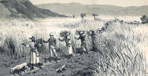
 Go on an expedition and conquer the Kongo Mountains (Kongobergen), the highest point in Vantaa! The mountain rises up to 267 feet or 81.5 meters above sea level. If you're lucky you can even find the treasure of the Kongo Mountains.
Kongobergen is named after the adjacent farm of Kongo. The area is a regionally valuable nature site. Please use existing trails where possible.
For example eurasian eagle-owls, nightjars, capercaillies, common buzzards, winter wrens, chiffchaffs, northern ravens and common cuckoos has been seen in the area.
The terrain is mostly easy forest tracks and any climbing isn't needed. Hike from the recommended parking place to the cache will be approximately 1.2 kilometers. The cache is recommended for the kids if the hike isn't too long.
There is ruin of an old triangulation tower near the cache, see Additional Waypoints.

 Kongovuorten aarre
Lähde tutkimusmatkalle ja valloita Kongovuoristo (Kongobergen), Vantaan korkein huippu! Korkein kohta kohoaa 81,5 metrin korkeudelle meren pinnasta. Hyvällä onnella saatat löytää myös tarunhohtoisen Kongovuorten aarteen.
Kongobergen on nimetty läheisen Kongon maatilan mukaan. Alue on maakunnallisesti eläimistöltään ja kasvistoltaan arvokas luontokohde. Käytäthän olemassaolevia polkuja aina kun se on mahdollista.
Alueella on nähty mm. huuhkajia, kehrääjiä, metsoja, hiirihaukkoja, peukaloisia, tiltaltteja, korppeja ja käkiä.
Maasto on pääasiassa helppokulkuista metsää ja vuoren huipulle johtaa polku itärinnettä pitkin, mitään kiipeämistä ei tarvitse tehdä. Matkaa ehdotetulta parkkipaikalta kätkölle tulee noin 1,2 kilometriä. Kätkö sopii hyvin lapsille, jos kävelymatka ei tuota ongelmia.
Kätkön lähellä on kaupungin vanhan kolmiomittaustornin rauniot, ks. Additional Waypoints.