Tuscarawas River EarthCache
-
Difficulty:
-

-
Terrain:
-

Size:  (not chosen)
Please note Use of geocaching.com services is subject to the terms and conditions
in our disclaimer.
Tuscarawas River
The Tuscarawas River is a principal tributary of the Muskingum
River, 129.9 miles (209 km) long, in northeastern Ohio in the
United States. Via the Muskingum and Ohio Rivers, it is part of the
watershed of the Mississippi River, draining an area of 2,590
square miles (6,708 km²) on glaciated and unglaciated portions of
the Allegheny Plateau.
It rises southwest of Hartville in northern Stark County, and
initially flows westwardly, through Uniontown into southern Summit
County, where it passes through the Portage Lakes area south of
Akron, and the city of Barberton. From Barberton the Tuscarawas
flows generally southwardly through Stark and Tuscarawas Counties,
through the communities of Clinton, Canal Fulton, Massillon,
Navarre, Bolivar, Zoar, Dover, and New Philadelphia. South of New
Philadelphia the river turns to the southwest and west, flowing
past Tuscarawas, Gnadenhutten, Port Washington, and Newcomerstown
into Coshocton County, where it joins the Walhonding River at the
city of Coshocton to form the Muskingum River. From Barberton
downstream, the Ohio and Erie Canal was constructed in parallel to
the river in 1828-1830; usage began declining in the 1850s, and the
canal was damaged beyond repair by flooding in 1913. Portions of
the canal's towpath route are maintained as a hiking and bicycling
trail.
According to the Geographic Names Information System, the
Tuscarawas River has also been known historically by the names
Little Muskingum River, Mashongam River, Tuscarawa River, and
Tuskarawas Creek.
The most productive source of ground water in east-central Ohio,
including Tuscarawas County, is the unconsolidated coarse-grained
sand and gravel aquifers located in the Tuscarawas River Basin.
Coarse-grained aquifers contain sand and gravel interbedded with
clay and silt.
Although the Tuscarawas River basin lies beyond the glaciated
portion of the state, meltwater from the glaciers to the north has
deposited well-sorted sands and gravel in the bedrock valley
beneath the river. This old valley contains as much as 250 feet of
glacial fill in many places. These permeable outwash deposits of
sand and gravel constitute the best water sources in the county.
Large industrial and municipal supplies are available to wells by
induced infiltration from the river. The amount of water available
by induced infiltration depends on the mud and silt on the river
bottom, the thickness and permeability of the sand and gravel
deposits, and the distance between the well and the river. Properly
constructed individual wells near the river may yield from 500 to
2000, or more, gallons per minute.
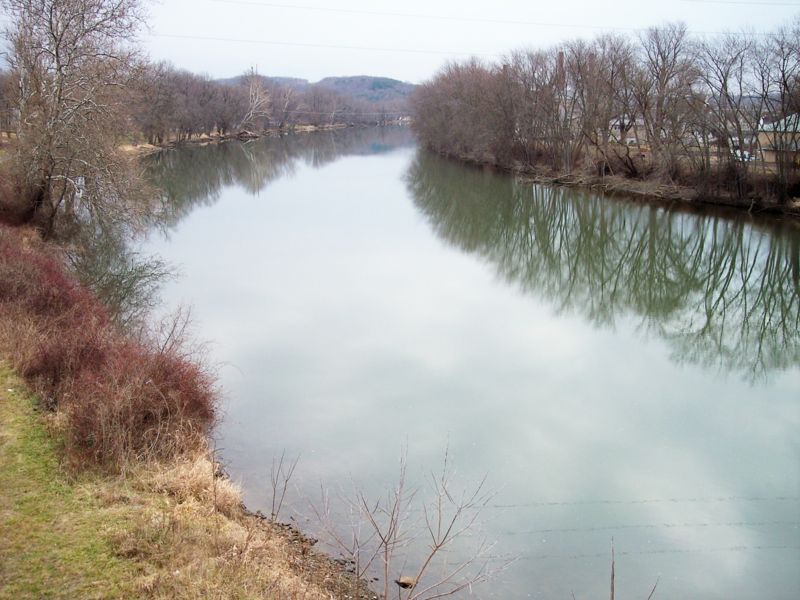
To Log this cache: - Go to this location and take a picture
of your party with the river in the background
- How many people are in your party?
- What is the flow direction of the river from where you are
standing?
- Give me a brief description of the river bank at this location -
is it sandy? rocky? muddy? any visible evidence of glacial fill? is
there evidence that industry has changed the river at this
location?
Additional Hints
(No hints available.)