Not knowing how your GPSr knows where you are is like not knowing
how your toaster works – it doesn’t stop you enjoying your
breakfast. But it’s actually not that complicated, so in case
there’s anyone caching who doesn’t understand how their GPSr works,
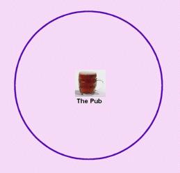
here’s a bit of an explanation: The theory behind it is simple, and
is called trilateration. Imagine the only thing you knew about
where you were was your distance from some other place that you
knew well – the pub, say – a place that was on the same level as
you, but could be in any direction from where you are now. That
would mean all you knew was that you were somewhere on edge of a
circle whose radius you know (the distance to the pub), with your
well-known place at the centre.
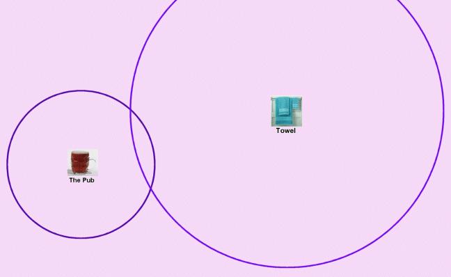
Now imagine you also know your distance from some other important
reference point – where your towel is, for example. You now know
you are on the edges of two different circles at the same time, and
that limits the possibilities of where you are to just two
points.
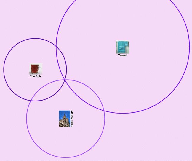
If I tell you your distance from just one more place you know –
say the Palac Kultury in Warsaw, you know exactly where you
are!
In reality, most people have the ability to move in three
dimensions so you actually need four ‘fixes’ – the first puts you
on a sphere, the next puts you on a circle (the intersection of two
spheres), the next puts you at one of two points (the intersection
of the circle and this next sphere), and the last tells you which
of the two points it is. That’s all very well, but how do get your
reference points, and how do you know how far you are from them?
Well, the equipment behind the system is a network of 31 satellites
spinning around the earth, at an altitude of about 20,000km. Pretty
much wherever you are on the surface of the earth, there are at
least six satellites that are in your line-of-sight. Your GPS
receives a radio signal from these satellites, and when you turn it
on for the first time in a while, it downloads an almanac – data
from which your GPS can work out where every satellite will be in
space at every moment for next the few days.
So now you have some reference points – but you still don’t know
how far away they are yet. That is achieved by having an accurate
clock inside each satellite. The satellites broadcast the time
according to their clocks all the time, and your GPSr receives
these times and compares the satellite’s time it its own clock. The
difference between the two is the time it took for the signal to
get to your GPSr from the satellite. If we know the speed that the
radio signal travels (which is the speed of light) then we can work
out how far it has come. (If this is confusing, imagine
communications 200 years ago. If someone in Berlin sent you a
newspaper on 3rd April by horseback, and you compared it to the
date on today’s newspaper on 29th April, you’d see that the
horse-rider took 26 days to get to you. If you knew that the horse
could run and swim at 30 miles a day, you’d know you were 780 miles
away from Berlin)
So, time to put it in practise for the cache!
The cache is on the surface of the earth. It would take 5.8532
microseconds for a radio message to get to it from GCGKVT, 6.2948
microseconds from GC13VCV, and 8.7224 microseconds from GCWX2Y.
It will be useful to know that the speed of light is 300,000 km
per second, that a 12-figure OS grid reference (as given for UK
caches on geocaching.com) is precise to 1 metre, and that from
Pythagoras’ theorem:
(distance between 2 pts) = square root of ((diff in X coords)^2
+ (diff in Y coords)^2)
The cache is a small lunchbox (the kind a squirrel might
use!)